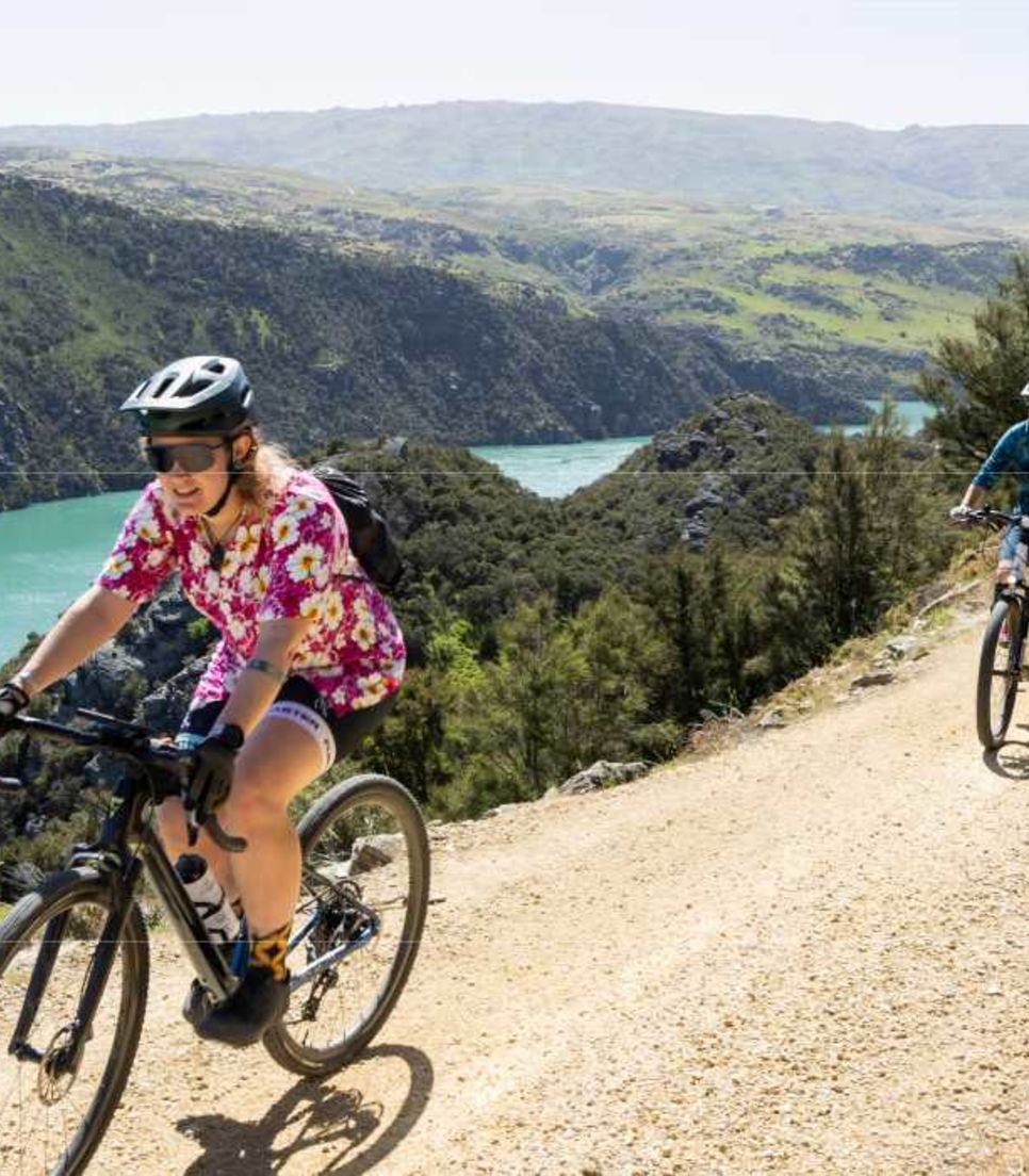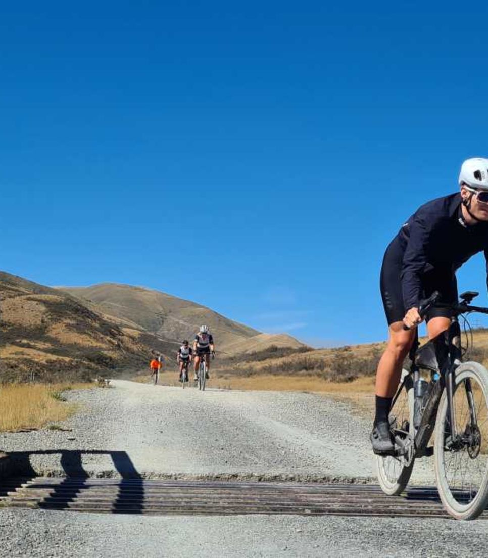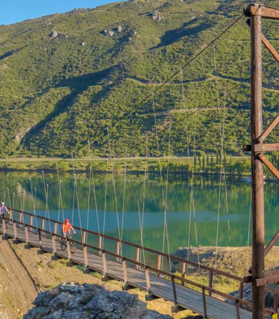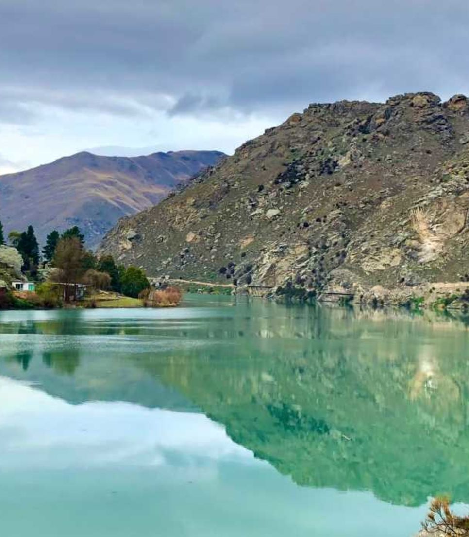
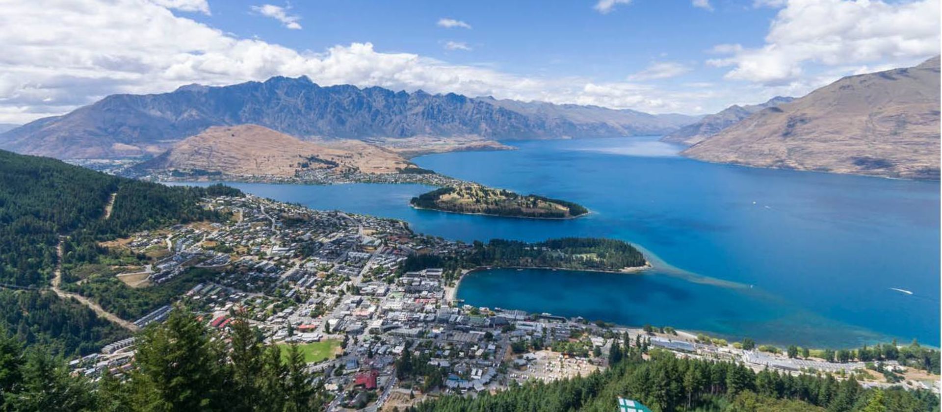
Participate in a superb gravel bike tour of the lakes and mountains of NZ
Enjoy a cycle tour designed to give you the best gravel cycling experiences in New Zealand's south
Experience a diversity of scenery and adventures each day
Travel through the scenery by gravel bike
Take on a small group guided tour with some of best scenery in the world
Never tire of the wonderful views presented each day
Enjoy a tour of some of the best trails on the South Island

NZ Gravel Bike Tour: South Island Ride

Duration
7 days
Site savings
$25
From
$2,391 USD

This superb cycling adventure from Christchurch to Queenstown offers you a chance to explore the vast and impressive Mackenzie Basin by bike to truly appreciate its huge glacial lakes and snow-capped mountains. The itinerary also allows you an opportunity to stretch the legs to admire the grandeur of Aoraki/Mount Cook, New Zealand's highest mountain, when you walk beneath its flanks.

  • Category
    Trail Riding
  • Type
    Fully Guided
  • Duration
    7 days
  • Culture Level
    Familiar
  • Skill Level
    3 - Intermediate
  • Activity Level
    4 - Challenging
  • Elevation
    3 - Intermediate
  • Terrain
    Mixed
  • Distance
    313.2 miles
  • Avg. Daily Distance
    44.7 miles
Best Price Guarantee
No booking or payment fees
Save $47 on your next booking
Loading tour details...

Quick Stats

  • Duration
    7 days
  • Main Destination
    South Island
  • Distance
    313.2 miles
  • Avg. Daily Distance
    44.7 miles
  • Elevation
    3 - Intermediate
  • Terrain
    Mixed

Route Map (click to view larger image)

Enjoy a tour of some of the best trails on the South Island

Itinerary Details

  1. Day 1Christchurch Port Hills

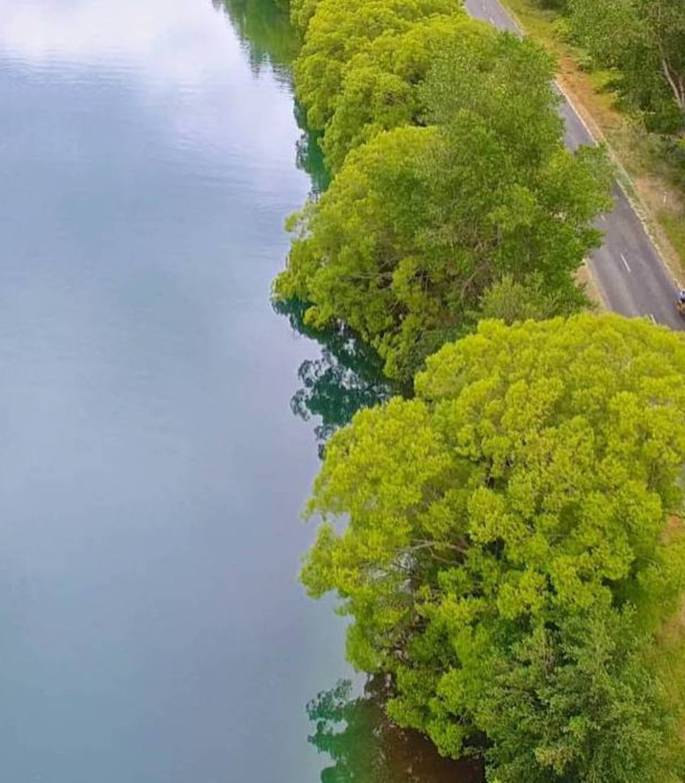
    Today you'll find your cycle legs with a stunning ride on Port Hills, one of New Zealand's most unique landforms. You'll start with a short drive out of Christchurch and set off riding along a flat lakeside trail to warm up the legs. From there you're onto a rather grunty climb on a sealed road but the views from the top are magnificent. This is the crater rim of an extinct volcano with incredible views towards the Canterbury Plains, the snowy Southern Alps and into the vivid blue harbour. You'll cycle the undulating and almost traffic-free Summit Road, right along the out to Godley Head, home to a WWII coastal defence battery that sits atop sheer 120m cliffs, stop and walk to see the views from the peninsula out to the Pacific Ocean.

    Loading up, you'll drive back to Christchurch in the afternoon and have free time to rest up before meeting for your first group dinner. Cycling terrain: 75% unpaved


    • 38.5 miles
    • 3,041.3 ft
      3,041.3 ft
    • Pavilions Hotel, Christchurch
    • Lunch and Dinner
  2. Day 2Christchurch to Lake Tekapo

    After breakfast, you'll load up and drive to the small settlement of Cave on the edge of the Canterbury Plains with a coffee stop at Pleasant Point. This area, New Zealand’s only “flat” land, is wide open country with braided rivers teeming with trout and salmon. The Canterbury Plains are also rich in sheep and dairy farming and today’s ride finds you travelling through a pastoral landscape. Today the ride takes you up the Little Opawa River Valley and over the Waratah Saddle, winding through rolling farmland. You'll then head towards the tussock-covered hills and over the Mackenzie Saddle (785m/2575ft) which cuts through the ranges and gives your first views of the vast arid Mackenzie Country, where rivers flow through sweeping tussock plains with a backdrop of the snowy alps. 

    You'll head northwards to meet the main highway at Dog Kennel Corner, a memorial to the importance of sheep dogs, prior to formal fencing of farmland. Here you'll load up to drive the final 15km along the main road to Tekapo. In early summer, this road is lined with lupins creating an incredible splash of colour to the arid landscape. Upon arrival in Lake Tekapo, you'll take in views of the amazing turquoise water and the Southern Alps from the Church of the Good Shepherd. Dinner at your leisure tonight.

    Cycling Terrain: 76% unpaved

    • 41 miles
    • 4,242.1 ft
      4,242.1 ft
    • Accommodation at Lake Tekapo
    • Breakfast and Lunch
  3. Day 3Lake Tekapo to Kurow via Hakataramea Pass

    This morning you'll retrace your steps by vehicle to Dog Kennel Corner and start riding from the turn off where you see a sign pointing to Hakataramea Pass. On gravel from the start, you'll leave civilisation and climb towards an indigo sky, lofty views of the Southern Alps and the cloud piercer, Aoraki/Mt Cook behind is now even more imposing above the Mackenzie Basin, whose truly vast scale is more easily appreciated as you approach the pass. The pass, marked with a fence-line, gate and signposts to destinations in both directions, proudly announces the pass is at 965m (3230ft) above sea level. A short winding descent leads to the broad Hakataramea Valley. The imposing Kirkliston Range to the west towers above the ordered, rolling farmland and you'll descend to Kurow, a small town where the Hakataramea and Waitaki valleys meet and your overnight stop.

    Cycling Terrain: 54% unpaved


    • 47.2 miles
    • 2,119.4 ft
      2,119.4 ft
    • Local Accommodation
    • Breakfast, Lunch, and Dinner
  4. Day 4Kurow to Oamaru on Alps to Ocean

    You'll spend today on the spectacular Alps to Ocean trail riding from Kurow out to Oamaru, a coastal town on the edge of the Pacific Ocean. From Kurow, the trail takes you along the banks of the Waitaki River, past vineyards and a Maori rock art site to reach the small town of Duntroon. Here you'll turn inland to cycle on a mixture of trail and quiet rural roads. A walk among the unusual rock formations known locally as Elephant Rocks is a must-do on the way past.

    Following a short section of an old branch railway line, you'll cycle through Raki's tunnel before a downhill ride into the settlement of Windsor. After lunch, you'll cycle through picturesque rolling rural countryside, past the Oamaru stone quarry to Friendly Bay and the end of the Alps to Ocean Cycle Trail. Your accommodation is within convenient walking distance to the historic precinct and Steampunk HQ.

    Cycle Terrain: 88% unpaved 

    • 51.6 miles
    • 2,030.8 ft
      2,030.8 ft
    • Oamaru Accommodation
    • Breakfast, Lunch, and Dinner
  5. Day 5Wedderburn to Alexandra on Otago Central Rail Trail

    Today's terrain is mostly on an old railway line so hard-packed shingle and no steep climbs makes the riding relatively straightforward! The main feature of the ride is the best section of New Zealand’s original and most famous “Great Ride,” the Otago Central Rail Trail. Steeped in history, this off-road rail trail offers a scenic and historic journey into the Central Otago heartland. This ever-changing landscape includes rugged mountains, crystal clear rivers, and steep winding gorges. Keen riders can choose to ride the extra 33kms to reach the Rail Trail from your accommodation, with the rest joining in from the iconic Wedderburn Station. From here it’s a steady climb to the highest point on the trail before dropping down to cycle over the impressive Poolburn viaduct and Manuherikia Bridge and through the 229m Poolburn tunnel. With views of the Dunstan Mountains and the Raggedy Range, you'll continue on to Alexandra, your home for the next 2 nights. Dinner at your leisure tonight.

    Cycling Terrain: Unpaved : 98%


    • 44.1 - 64.6 miles
    • 1,269.7 ft
      1,269.7 ft
    • Oamaru Accommodation
    • Breakfast and Lunch
  6. Day 6Ride Clutha Gold Trail & Roxburgh Gorge Trail & Jet Boat Ride

    Today you'll get to ride on two stunning NZ Great Rides (Clutha Gold Trail & Roxburgh Gorge Trail) alongside the mighty Clutha River. The day begins with a drive to Beaumont where you'll start on the Clutha Gold Trail, riding 20kms through the scenic Beaumont Gorge. Emerging from the Gorge, you’ll reach the small farming settlement of Millers Flat. The next 30kms takes you past interesting riverside landmarks and deep into the orchard-lands of the Teviot Valley. The impressive Roxburgh hydro dam marks the end of one trail and the start of the next. With amazing vistas across the Lake Roxburgh the trail drops into a gorge and then heads away from the water passing through a small secluded valley and into sweeping hill country. At Elbow Creek, it’s a gradual descent to Shingle Creek, to meet a jet boat taking you 13km upriver to Doctor’s Point. The second half of the Roxburgh trail is equally remote and awe-inspiring with stone-walled water races and other remnants of gold mining activity. You'll emerge from the gorge back in Alexandra. 

    Cycling Terrain: 85% unpaved

    • 47.8 miles
    • 2,034.1 ft
      2,034.1 ft
    • Local Accommodation
    • Breakfast, Lunch, and Dinner
  7. Day 7Ride the Lake Dunstan Trail to Queenstown

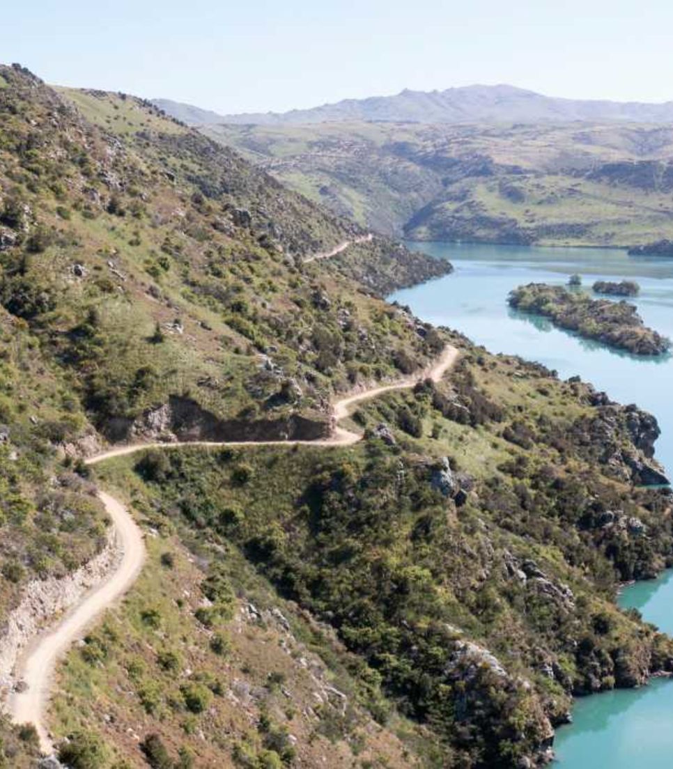
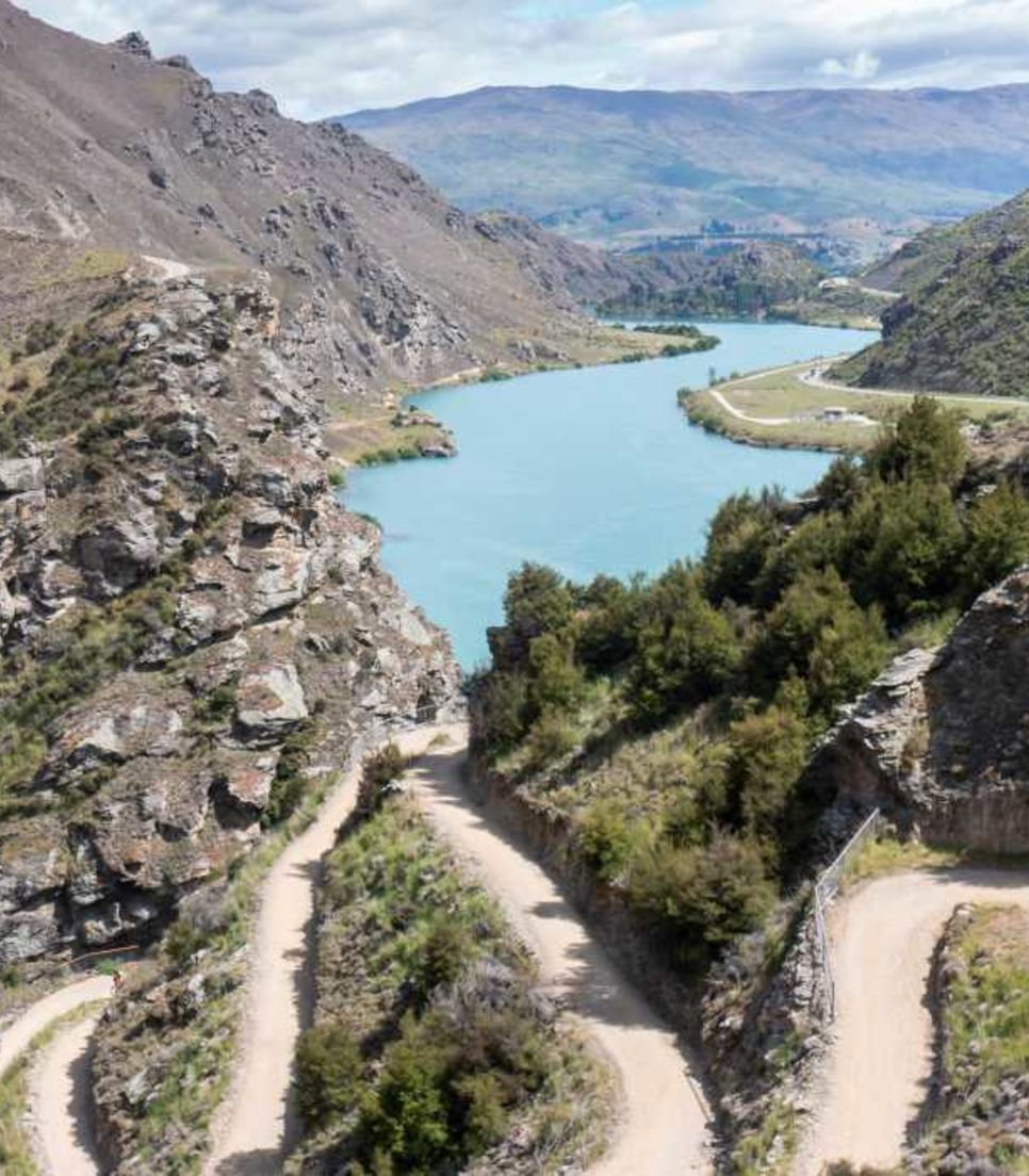
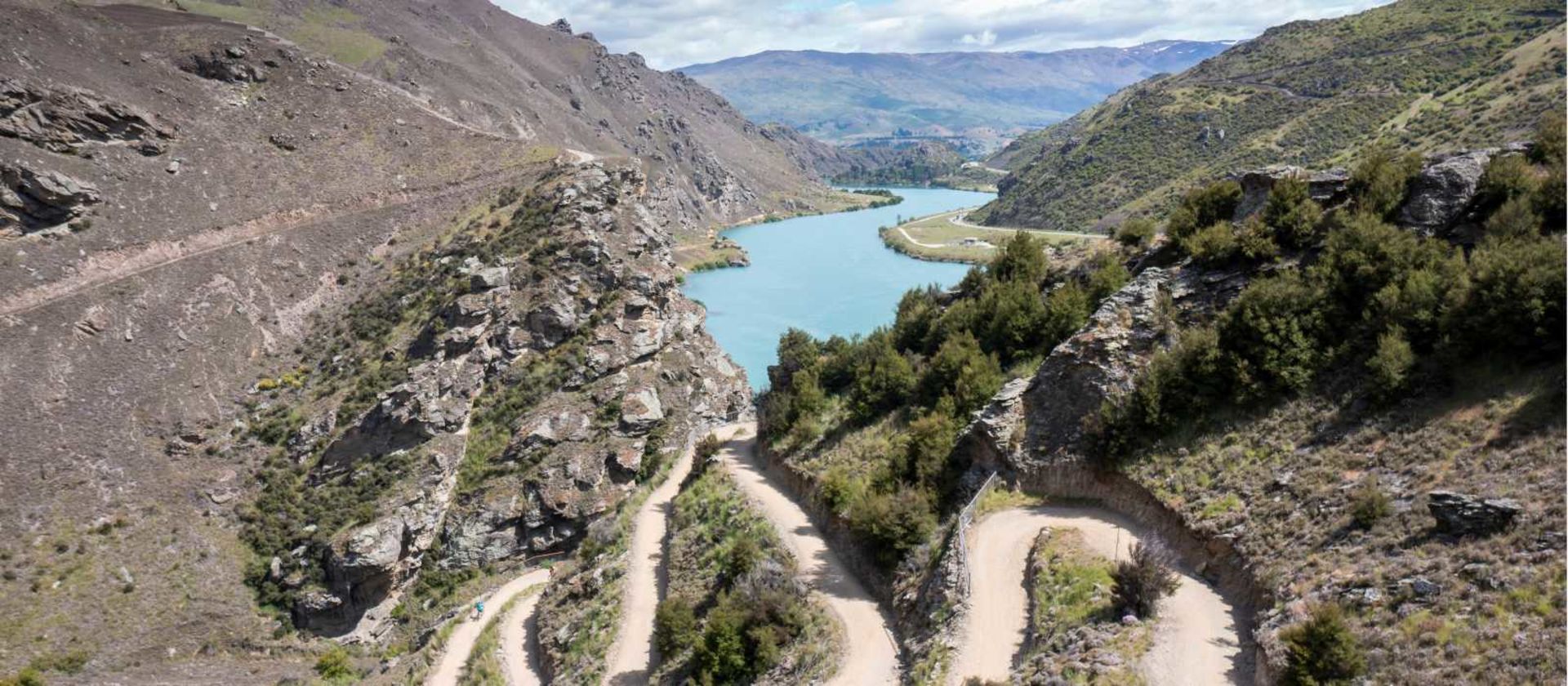
    Today is the culmination of your epic adventure as you cycle the iconic Great Ride, the Lake Dunstan Trail. This spectacular ride takes you through unique and fascinating landscapes so characteristic of Central Otago as it journeys along the Clutha, the Kawarau River and the shores of Lake Dunstan. The region’s rich modern, pioneering and Maori historical stories are integrated along the way, some of which are brought to life in Clyde and Cromwell Historical Precinct.

    First, you'll begin with a delightful ride along the River trail from Alexandra to Clyde where you then join the Lake Dunstan Trail. From Clyde, you pass the historically controversial hydroelectric Clyde Dam, responsible for damming the Clutha River and the creation of Lake Dunstan. Next up, the stunning Cromwell Gorge where you'll cycle around sheer rock faces and over lake inlets on impressively engineered platforms and bridges rising above Lake Dunstan, eventually meeting the Kawarau River at Cornish Point. Passing vineyards and olive groves the trail crosses the Bannockburn Bridge and ducks into the Cromwell Heritage Precinct where you’ll have a brief stop to explore before heading along the shores of Lake Dunstan where the trail finishes part-way up the lake. The concluding drive takes you through the picturesque Kawerau Gorge to Queenstown, passing the vine-lined Gibbston Valley and the famous Kawerau Bungy Bridge, ultimately reaching Queenstown, the grand finale of your gravel adventure. You will be dropped off at a central location in town.

    Cycling Terrain: 95% unpaved

    • 44.1 miles
    • 2,290 ft
      2,290 ft
    • Breakfast and Lunch