
We deal directly with each tour operator, which means we can guarantee you the best price. If within 24 hours of your booking you find the exact same tour elsewhere for a lower price, let us know and we'll refund you the difference!
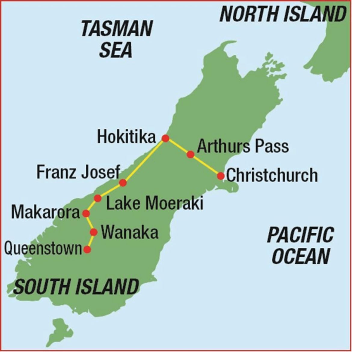
Enjoy friendly Kiwi hospitality, a superb scenic mix of mountain passes and easier coastal terrain that will delight cycle enthusiasts on a 10 day road biking tour running from Christchurch to Queenstown. Unspoilt New Zealand - glaciers, rainforests, lakes and snowy peaks; the Southern Alps tour takes you on a breath-taking loop through some of the world's finest scenery. New Zealand was one of the last places in the world to be settled by man and it still retains a rugged, incomparable pristine beauty. "The Lord of the Rings" was filmed here on the West Coast and is rightly recognised as a World Heritage Area.
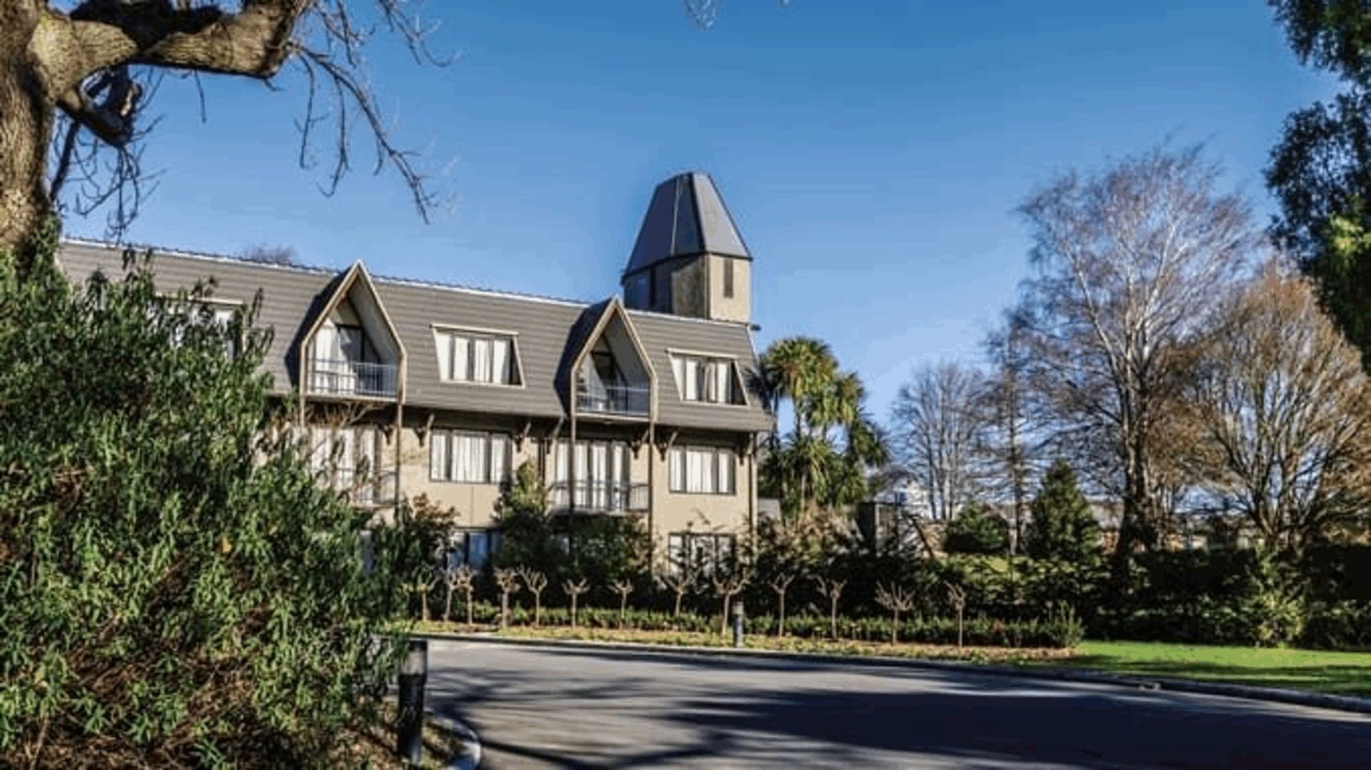
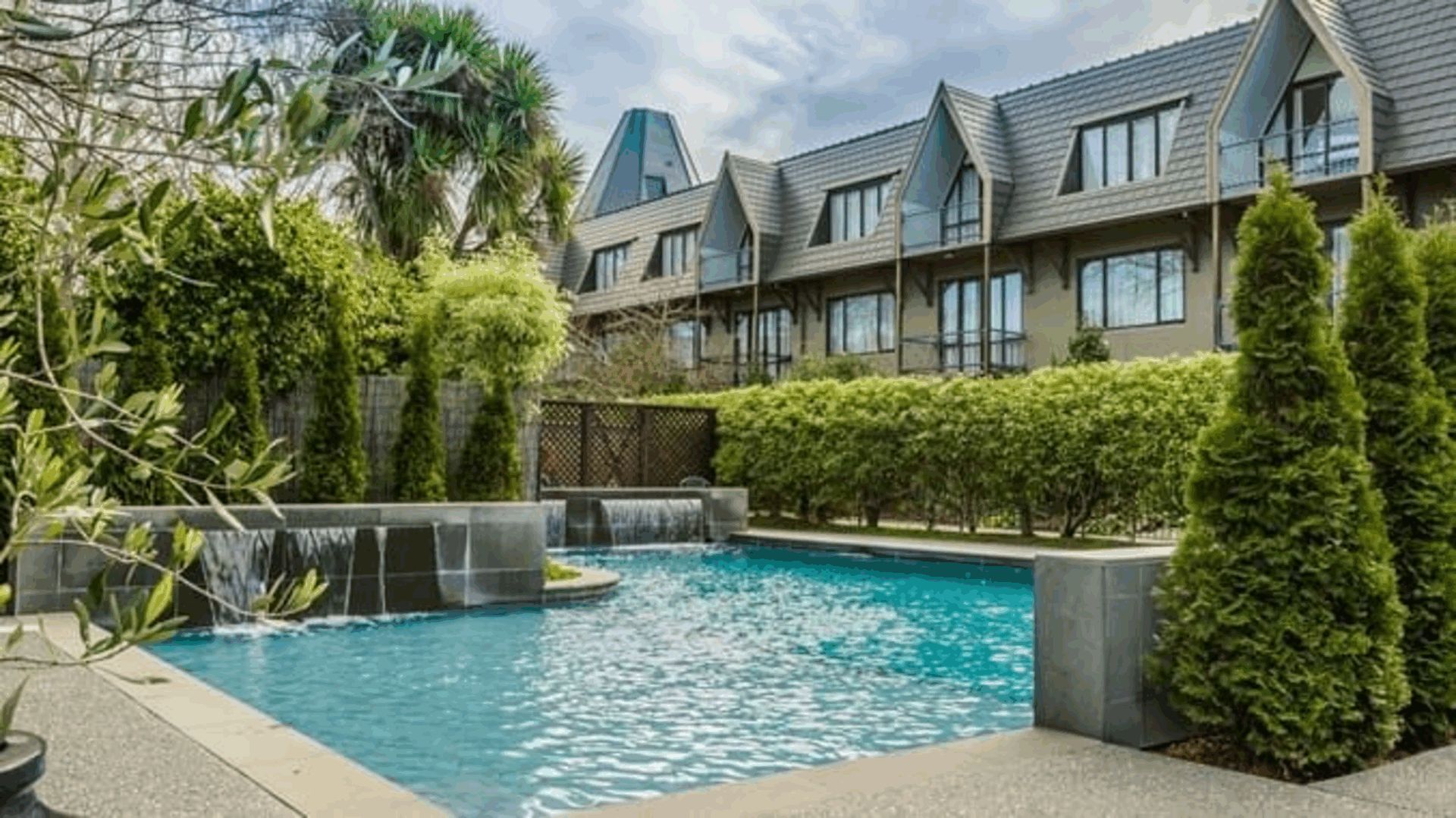
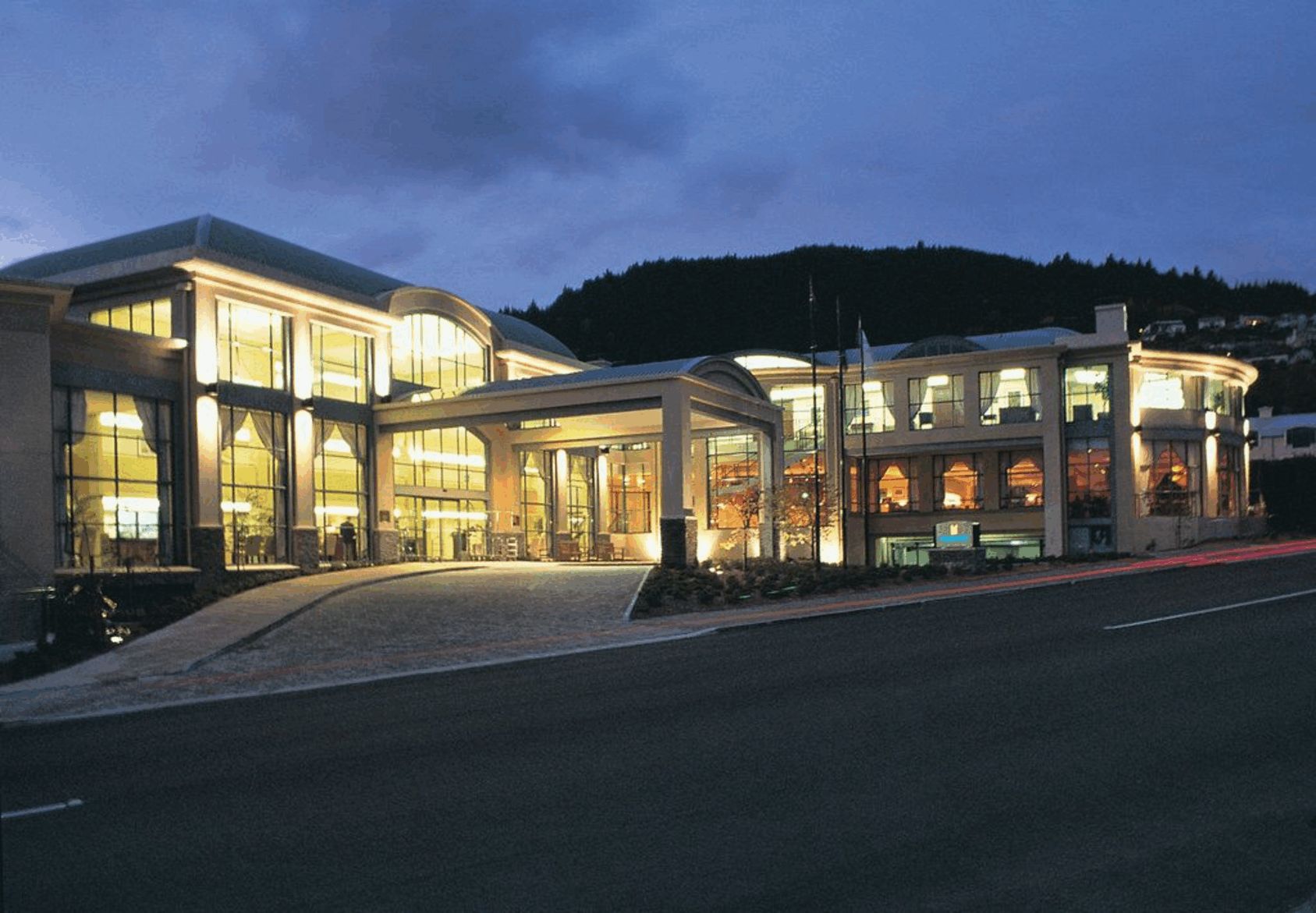
Meet your guide at 12pm at Chateau on the Park hotel. The hotel is located opposite the green oasis of Hagley Park and about 15 minutes drive from Christchurch International Airport. Your tour leader will hold a trip orientation meeting prior to lunch. Time will be set aside to fit you to your rental bike or unpack your own. You'll then take a short ride around Hagley Park to try the bikes, or, weather dependent, the Summit Road for a panoramic view over the city.
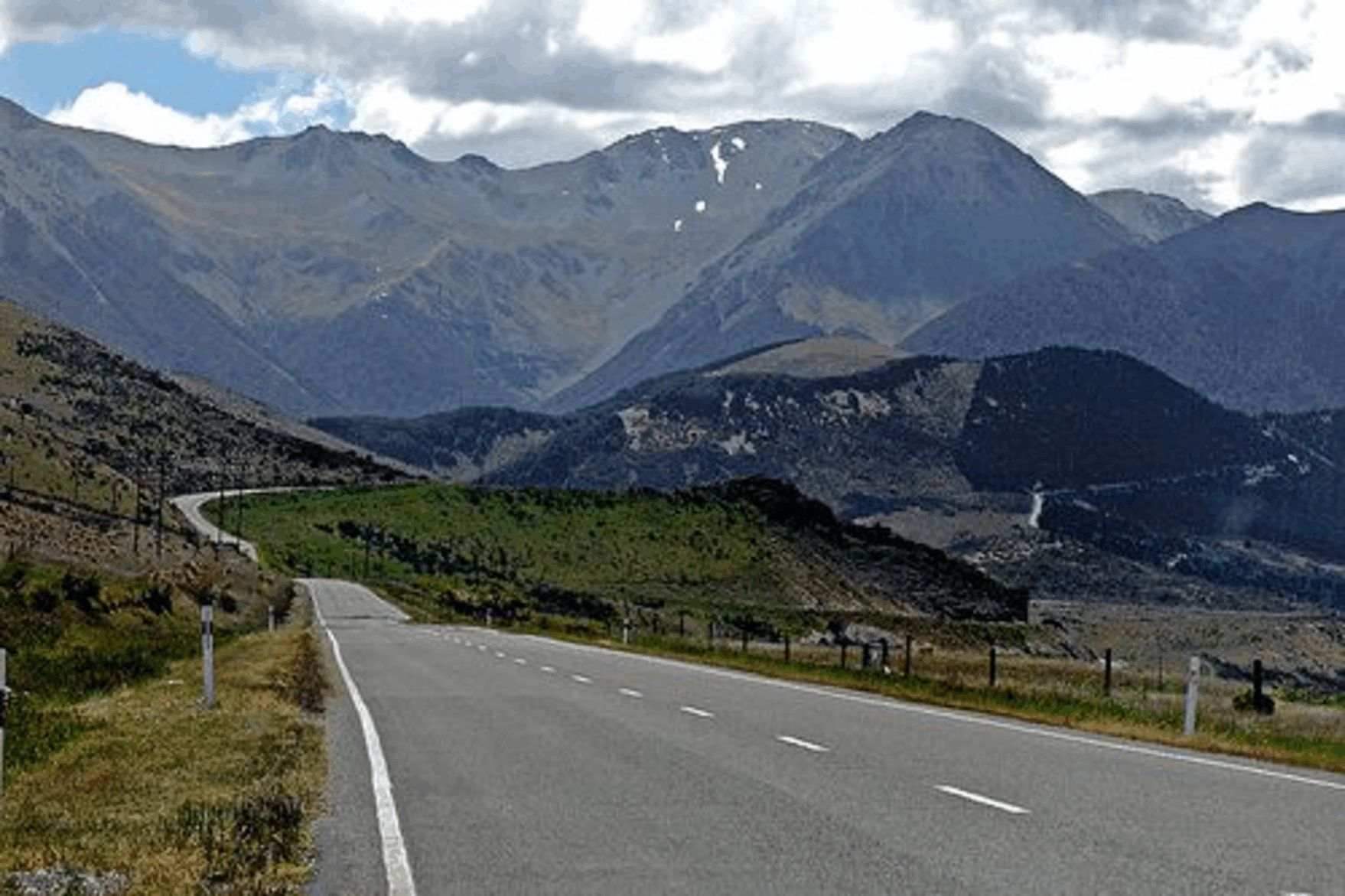
The minibus will takes you through the suburbs and across the Canterbury Plains to the Torlesse Range and views of the Southern Alps which stretch for 450 kilometres (279mi) along the spine of the South Island. Serious cyclists may wish to tackle Porters Pass (929m/3047ft) but for those that want an easier first day, you will unload the bikes at the top before descending into an alpine valley. The terrain is rolling as you pass Lakes Pearson, Grasmere and Sarah on your way to the Waimakariri River and the gentle climb through dense beech forest to Arthur's Pass National Park. Watch the highly skilled sheep dogs at work on this working merino sheep station or go for a bush walk on the property,
Porter's Pass to Arthur's Pass: cas./int. 51 km./ 32 mi
Springfield to Arthur’s Pass W.Lodge:adv.68 km /42.5mi
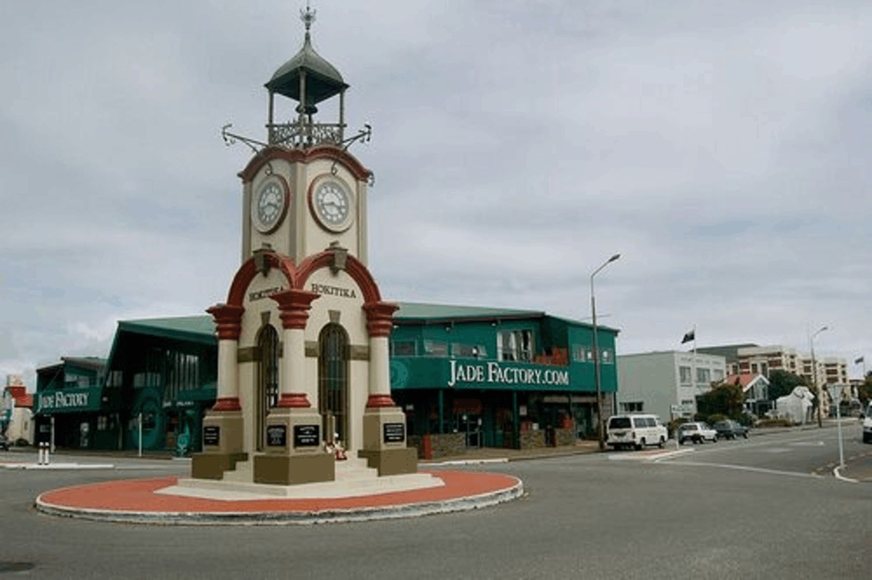
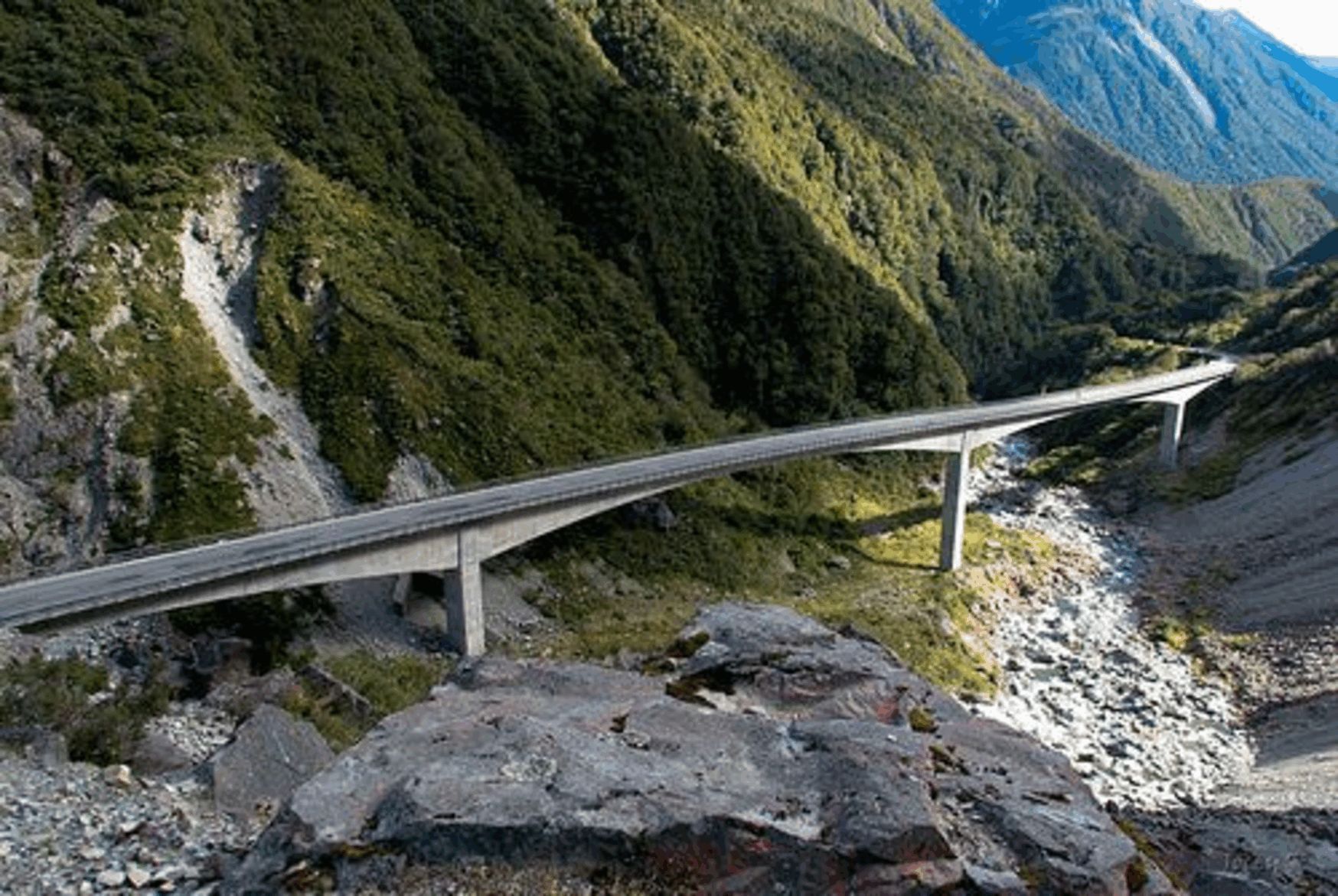
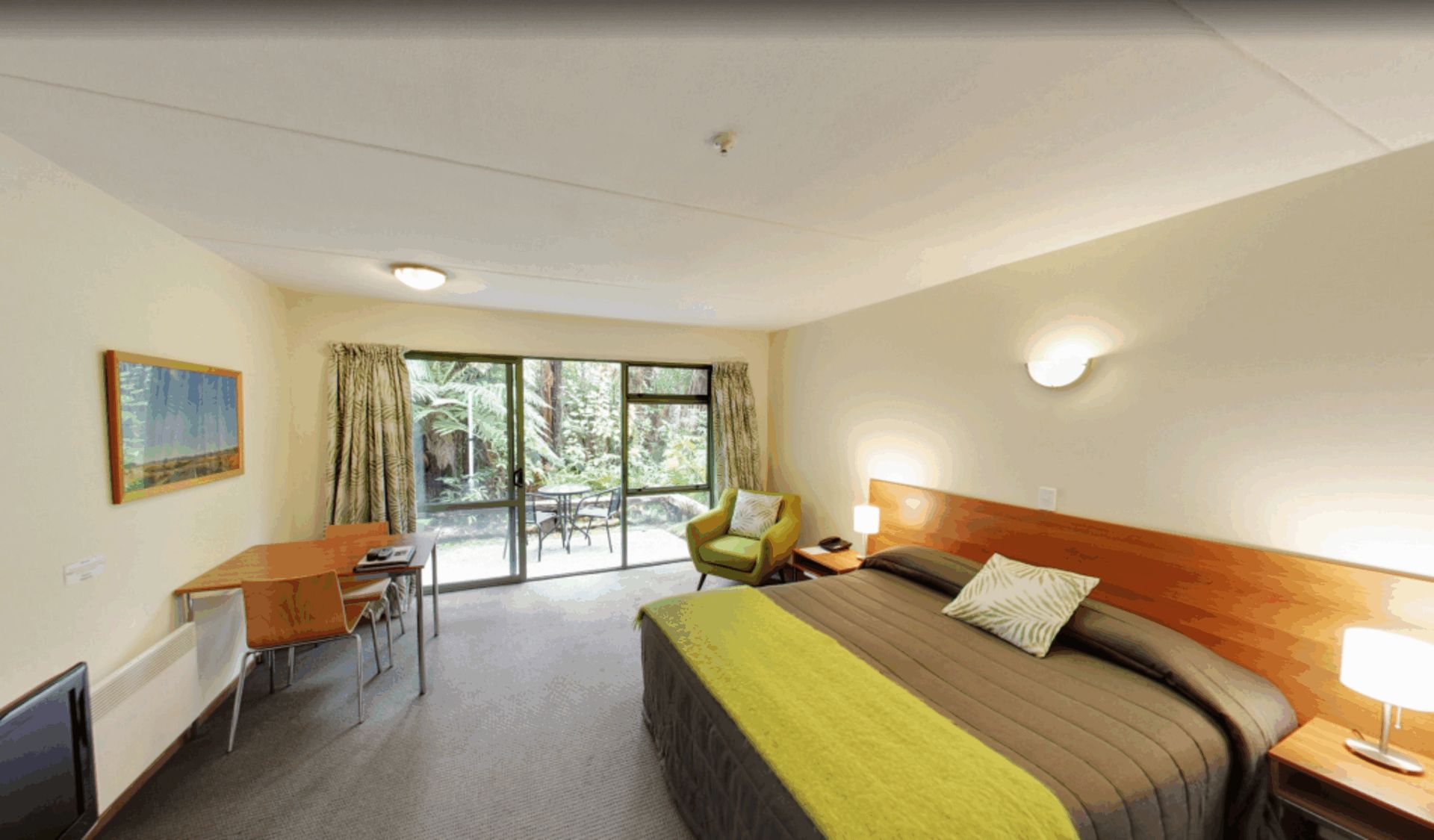
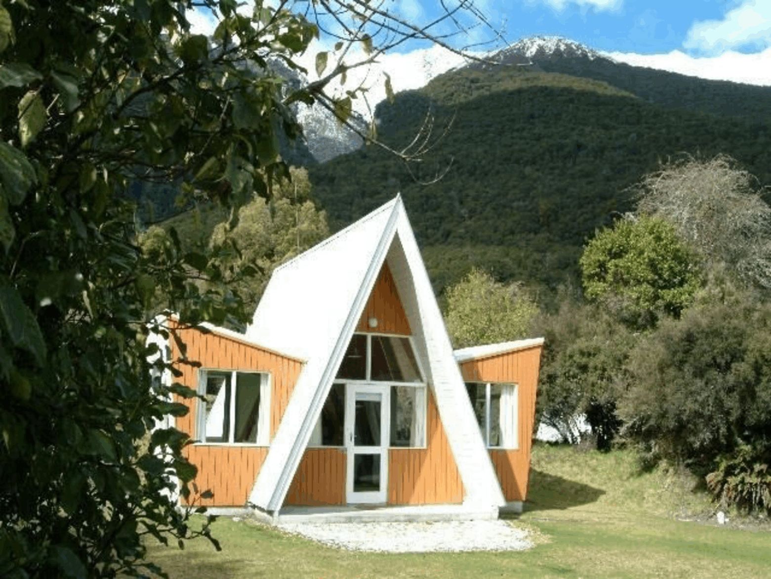
You will ride through beech forest to Arthur’s Pass village and then climb to the top of the pass, dominated by Mt Rolleston (2270 m/7447ft.) The descent through Otira Gorge is very spectacular and initially steep. From Jacksons (a quaint old pub) the terrain is gentle as you ride alongside the Taramakau River. Through stands of native forest, you will reach Kumara (tavern) where you can decide to continue to cycle or to drive the last few miles to your lodgings overlooking the beach. Like most towns on the West Coast, Hokitika started as a mining town. Now it depends on tourism and is especially noted for jade or 'greenstone' jewellery. Greenstone (pounamu) is collected from local river beds and can be seen worked in a shop factory.
Wilderness Lodge to Jackson’s cas.50 km / 31 mi
Wilderness Lodge to Kumara:int. 89 km / 56 mi
Arthur's Pass to Hokitika: adv 119 km / 74 mi
Crossing the Hokitika River you will head south through native bush of rimu and kahikatea (white pine). The route takes you through an agricultural valley and forest. The country is rolling with one climb up Mt Hercules after the town of Harihari ( nowhere near as daunting as the name suggests!) and a final flat run from Whataroa. Entering Westland National Park as you pass beautiful Lake Mapourika, you will have superb views of snow-capped peaks.
Mt Hercules summit to Franz Josef cas. 51km / 32 mi
Lake Ianthe to Franz Josef: int. 80 km / 50 mi
Hokitika to Franz Josef Glacier:adv. 135 km / 84.4 mi
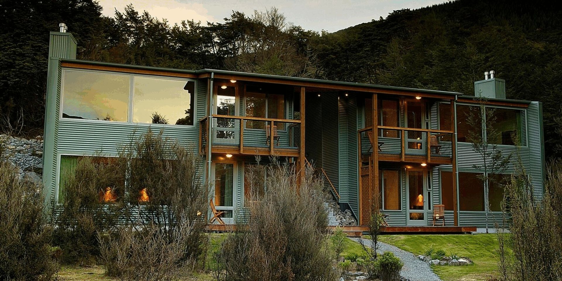
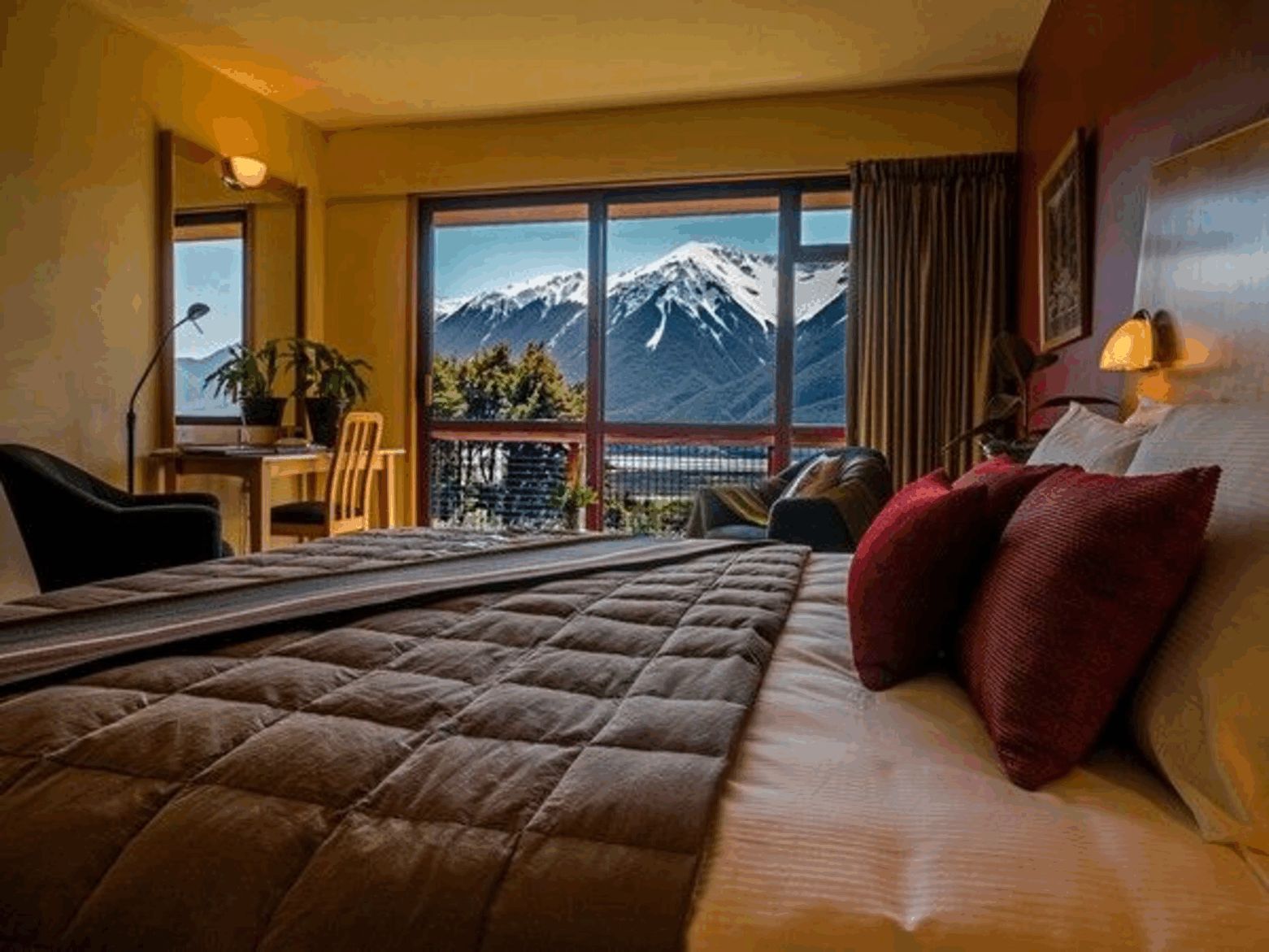
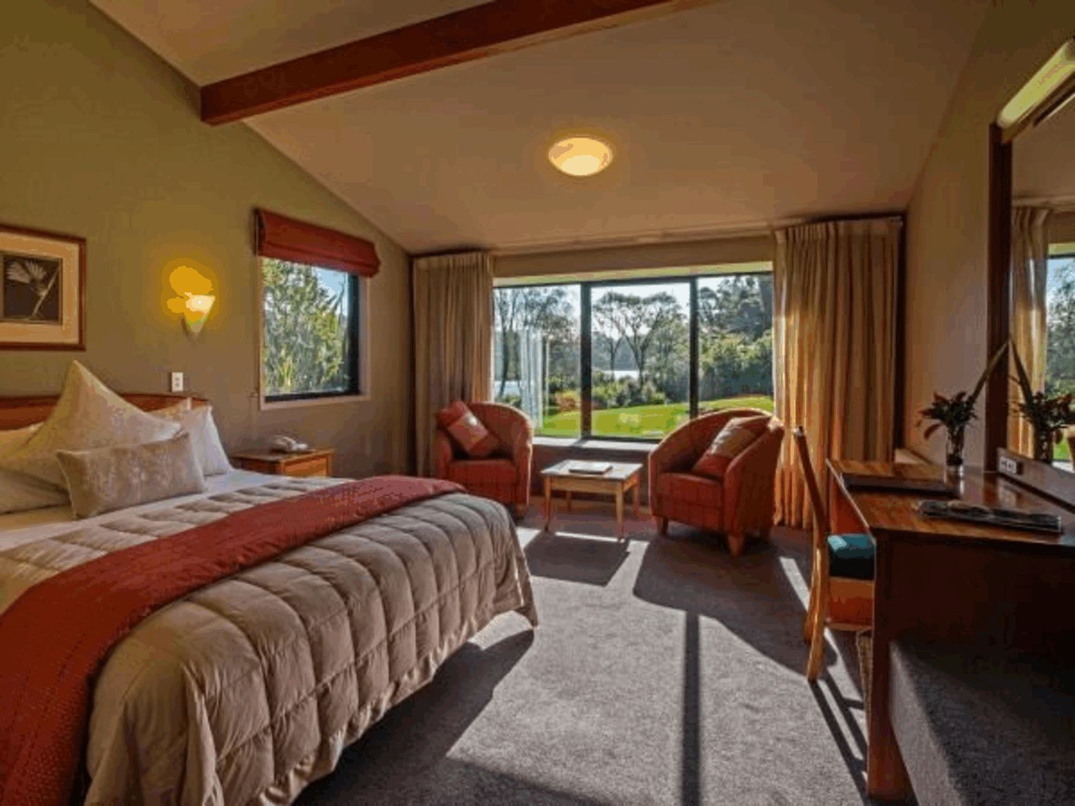
Franz Josef is one of two similar small villages perched near the endpoints of glaciers that come down from the highest mountains of the Southern Alps (the highest peak in New Zealand is Mount Cook, 3,754 m/12,316 ft) to the coastal rainforest. Franz Josef Glacier is named after the 19th-century Austrian emperor because the area was surveyed in the 1860's by an Austrian geologist, Julius von Haast. A walk up the glacier valley gives spectacular views of the terminal ice, while the Westland National Park Visitors Centres house a wealth of information. Also highly recommended are ski-plane or helicopter flights over snowfields, forests and glaciers. Neighbouring Okarito Beach, site of Abel Tasman's landfall and once a thriving town, is a further option for those who want some more cycling or to visit the large lagoon, renowned for native birds, especially the lovely white heron or “kotuku”.
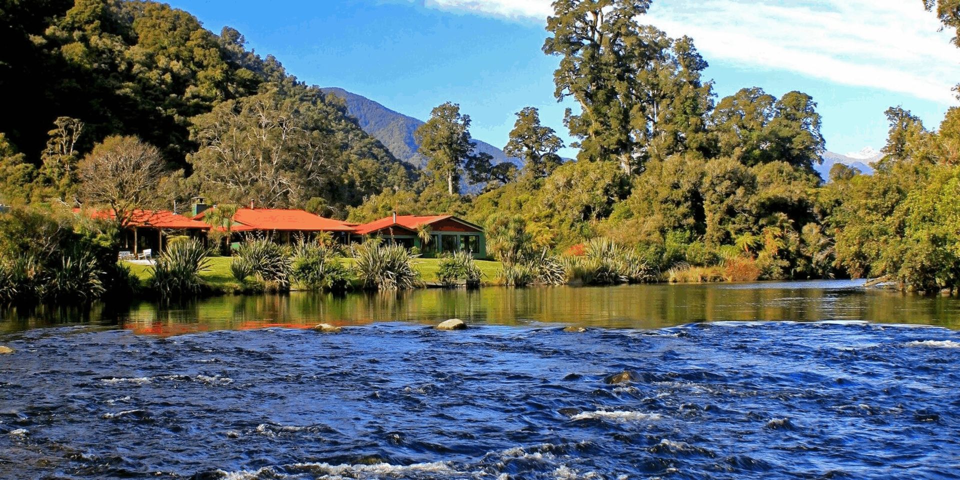
From Franz Josef to Fox Glacier is just 24 km (14.9mi), but includes three quite severe climbs (and descents); it is through beautiful native forest. The remaining terrain is very gently undulating. From Fox to Lake Paringa the road passes through lush rain forest of rimu and rata, flax filled swamps and past rugged hills. The many rivers become raging torrents after rain. With fine weather, there will be superb views of Mt. Cook and the Southern Alps. Take a paddle in canoes on the lake which is stocked with trout or hike to Monro’s beach to spot fur seals and (in season) penguins. There is also a complimentary daily guided programme including glow-worm walks and giant eel feeding.
Bruce Bay to Lake Moerakicas. 43 km/ 27 mi
Fox to Lake Moeraki: int. 89 km / 56 mi
Franz Josef to Lake Moeraki: adv.114 km / 71 mi
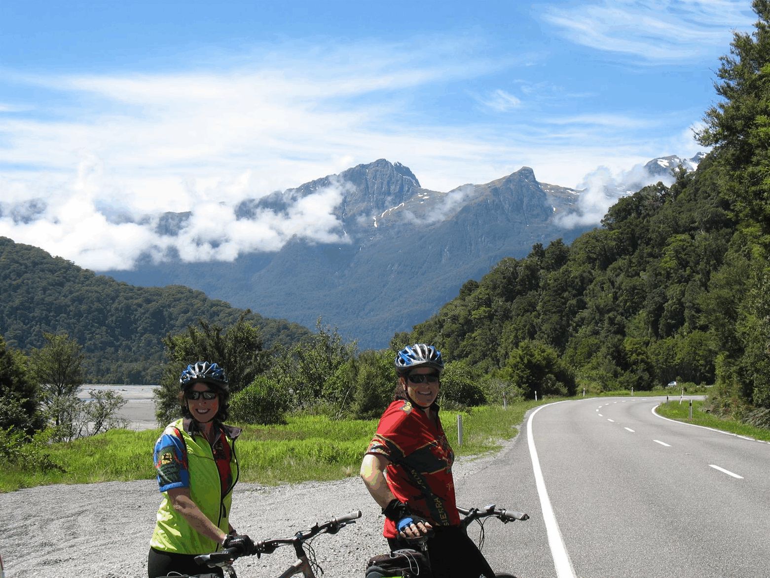
Knights Point affords excellent views of the rugged coastline where seals can often be seen basking in the sun. From Haast, you will head inland, following the Haast River towards the snowcapped peaks. You will pass innumerable waterfalls and much bird life, notably keas, fantails and bellbirds. After lunch, the stiff climb through the Gates of Haast is negotiated before the gentle descent to tiny, isolated Makarora, a base for trampers (hikers) and the renowned Siberia Experience.
Haast to Pleasant Flat: cas. 49 km / 31 mi
Lake Moeraki to Pleasant Flat: int. 78 km / 49 mi
Lake Moeraki to Makarora:adv.112 km / 70 miJust south of Lake Moeraki
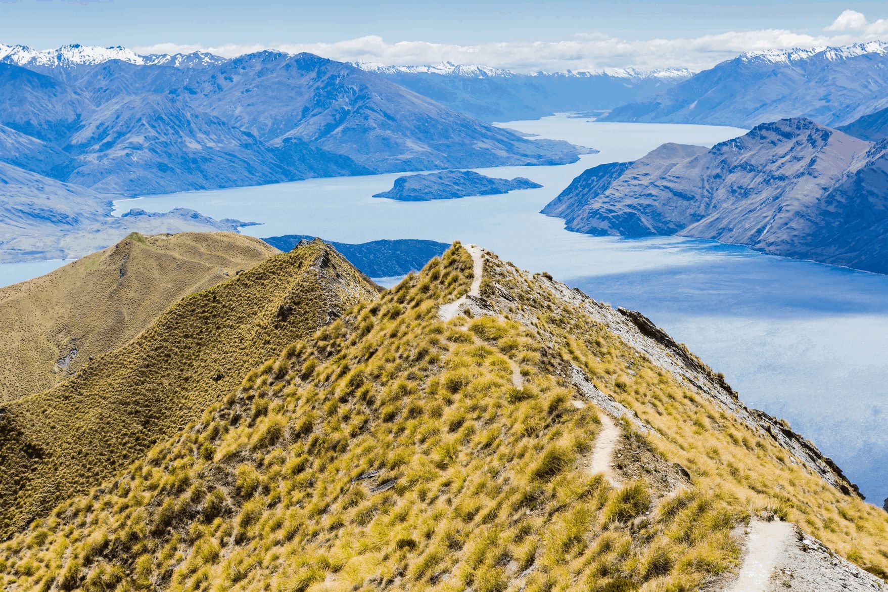
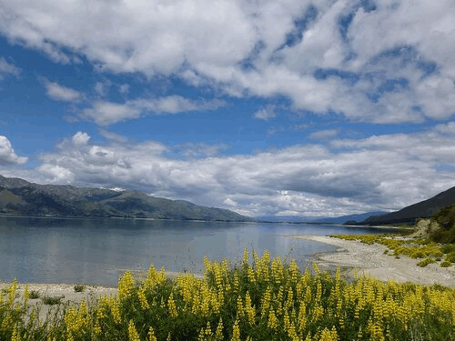
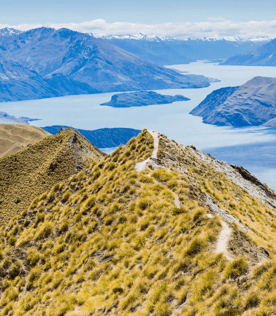
The country is now dramatically drier, dense bush giving way to open sheep paddocks. The road closely follows Lake Wanaka, crosses the Neck to Lake Hawea and then recrosses to Lake Wanaka. There are dramatic views of jagged, rocky mountains across the lake. Wanaka is the gateway to Mt Aspiring National park and several winter ski regions Those with energy to spare may like to hike up Mt Iron for more panoramic views or visit Rippon Vineyard (Pinot Noir, Sauvignon Blanc and Riesling wines) for a more leisurely afternoon.
Makarora to Wanaka: int/adv 66km / 41 mi
Makarora to Hawea: cas. 50 km / 30 mi
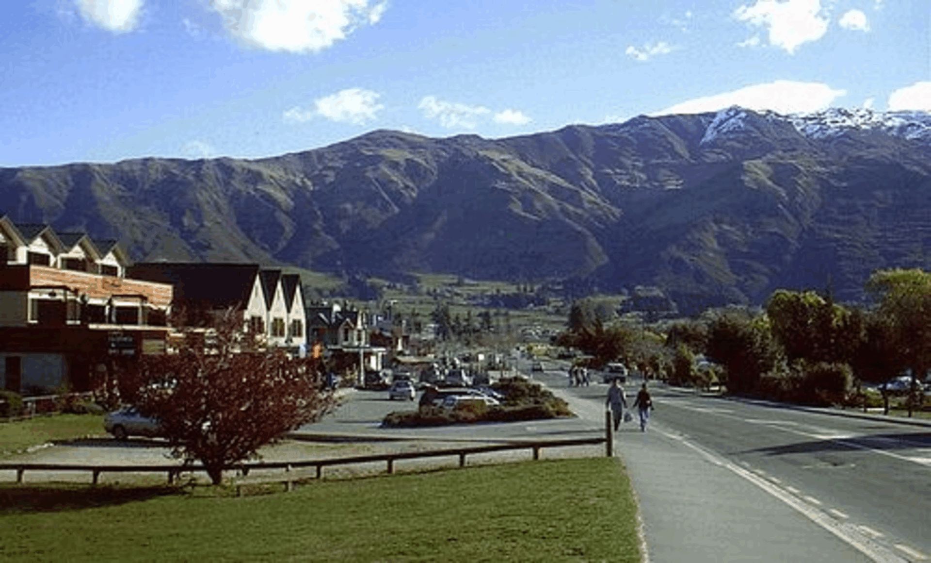
Your route today takes you up the Crown Range, over the Cardrona Road. You will climb through tussocky hills past the historic Cardrona Hotel; on reaching the top there will be amazing views of The Remarkables mountain range and Queenstown. The adjacent Pisa Range (1963m/6440ft) features New Zealand’s only Nordic ski-touring and snow-shoe trails. You will descend the exhilarating hairpin bends down to Arrowtown, an attractive, well-preserved gold-mining village with quaint old cottages and avenues of elms. An easy flat ride beneath Coronet Peak, a winter ski field, takes you to Arthur's Point where you can cross the Shotover River on your way to Queenstown. Look out for jet boats speeding through the narrow gorge. Surrounded by mountain peaks (including the famous Remarkables), and set on Lake Wakatipu, Queenstown has much to offer.
Wanaka to Cardrona Hotel: cas. 27 km / 17 mi
Wanaka to Q’town via Crown Range: int. 78 km / 49 mi
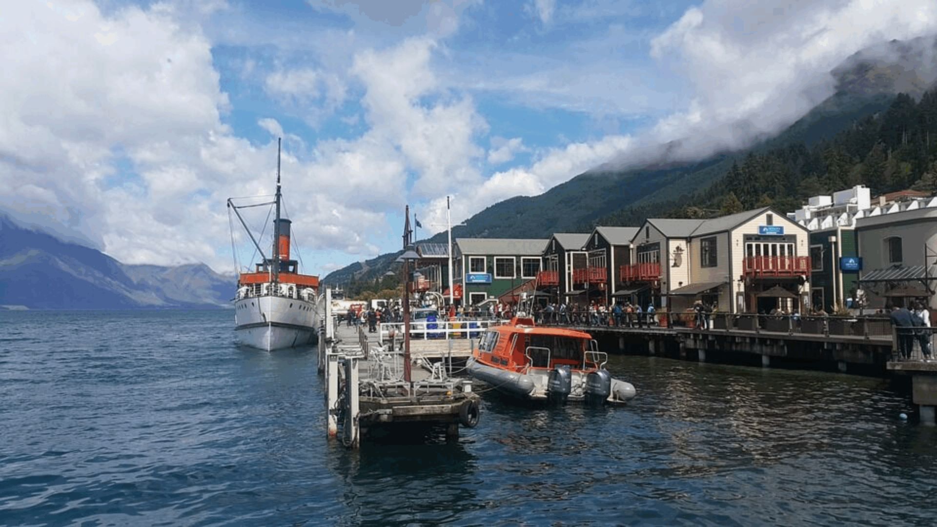
Options today include a jet boat or rafting trip on the Kawarau or Shotover Rivers, the steamer "Earnslaw" to visit a high country sheep station across Lake Wakatipu, the gondola cableway, Skippers canyon, a flight to Milford Sound (fiord), and much more. Queenstown also has an excellent botanical garden and a very good shopping centre.It is here that we must say farewell.