We deal directly with each tour operator, which means we can guarantee you the best price. If within 24 hours of your booking you find the exact same tour elsewhere for a lower price, let us know and we'll refund you the difference!
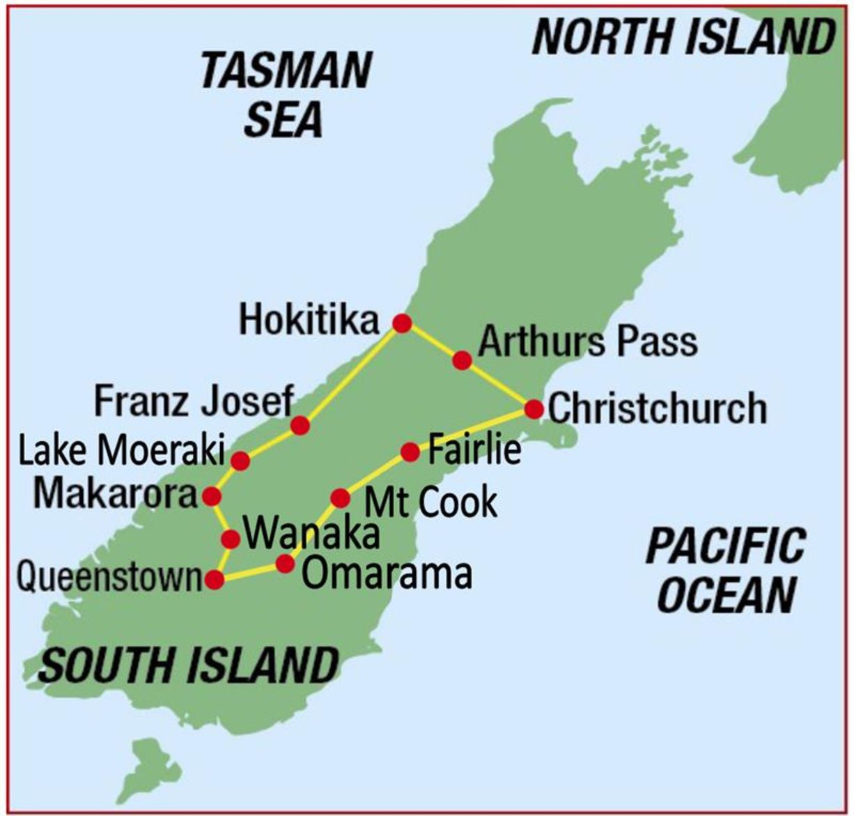
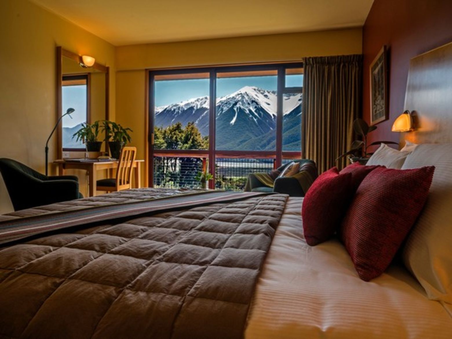
Unspoilt New Zealand - glaciers, rainforests, lakes and snowy peaks; the Southern Alps tour takes you on a breath-taking loop through some of the world's finest scenery. New Zealand was one of the last places in the world to be settled by man and it still retains a rugged, incomparable pristine beauty. "The Lord of the Rings" was filmed here on the West Coast and is rightly recognised as a World Heritage Area. The South Island is known for friendly Kiwi hospitality, excellent local cuisine and includes interesting history from the region's gold mining days. The vibrant towns of Wanaka and Queenstown- both on the shores of beautiful lakes with an alpine backdrop – make for a wonderful experience.
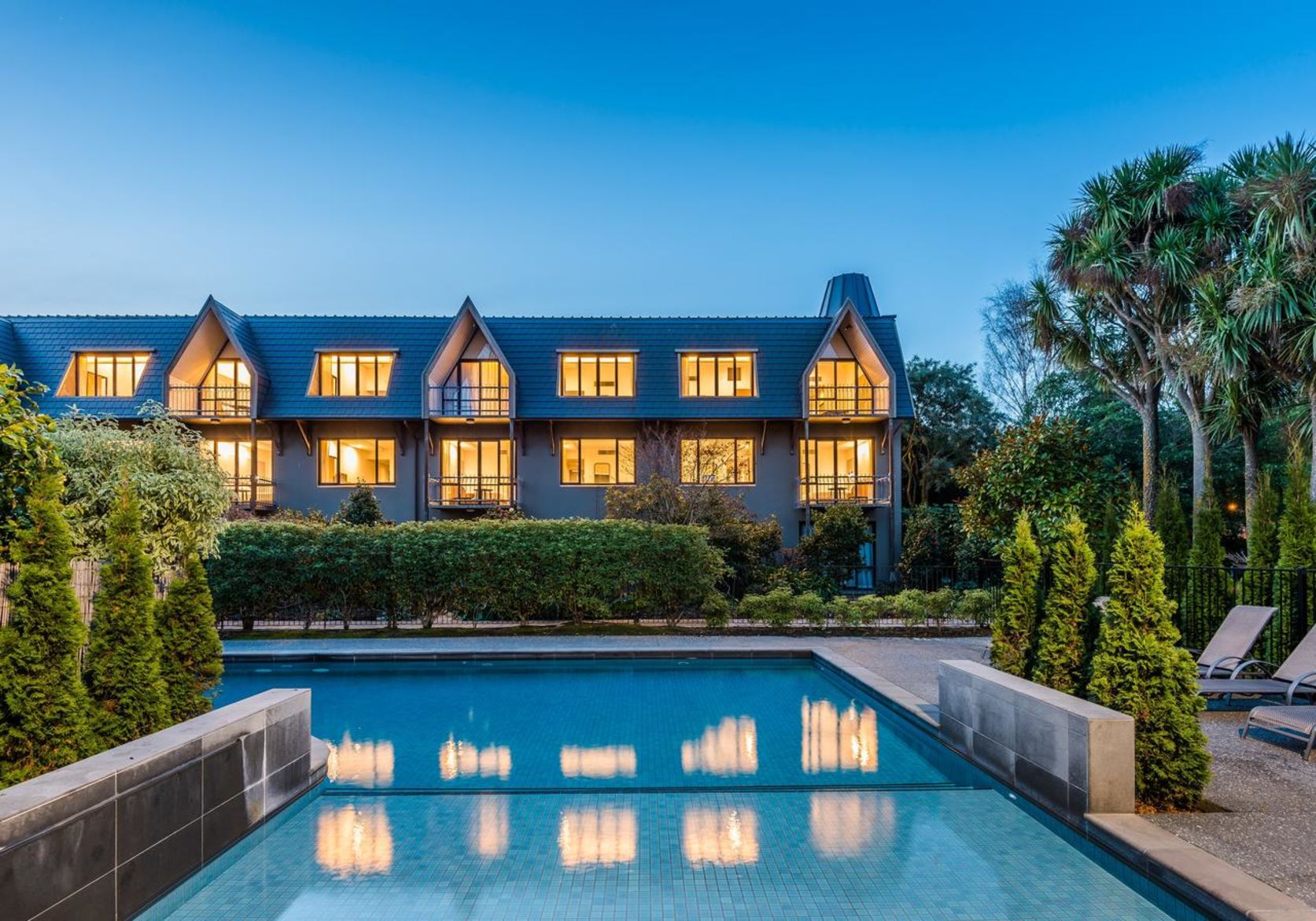
Meet your guide at 12pm at Chateau on the Park hotel. The hotel is located opposite the green oasis of Hagley Park and about 15 minutes drive from Christchurch International Airport. Your tour leader will hold a trip orientation meeting prior to lunch. Time will be set aside to fit you to your rental bike or unpack your own. You'll then take a short ride around Hagley Park to try the bikes, or, weather dependent, the Summit Road for a panoramic view over the city.
The minibus will take you through the suburbs and across the Canterbury Plains to the Torlesse Range. Along the way, views of the Southern Alps stretch for 450 km (279mi) along the spine of the South Island. Serious cyclists may wish to tackle the climb up Porters Pass (929m/3047ft) but for those that want an easier first day, you can unload the bikes at the top before descending into an alpine valley. The terrain is rolling as you pass Lakes Pearson, Grasmere and Sarah on your way to the Waimakariri River. There’s a gentle climb through a dense beech forest to Arthur's Pass National Park.
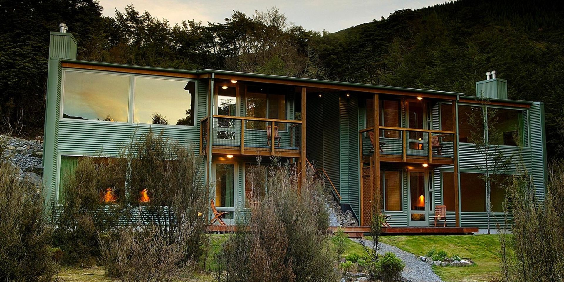
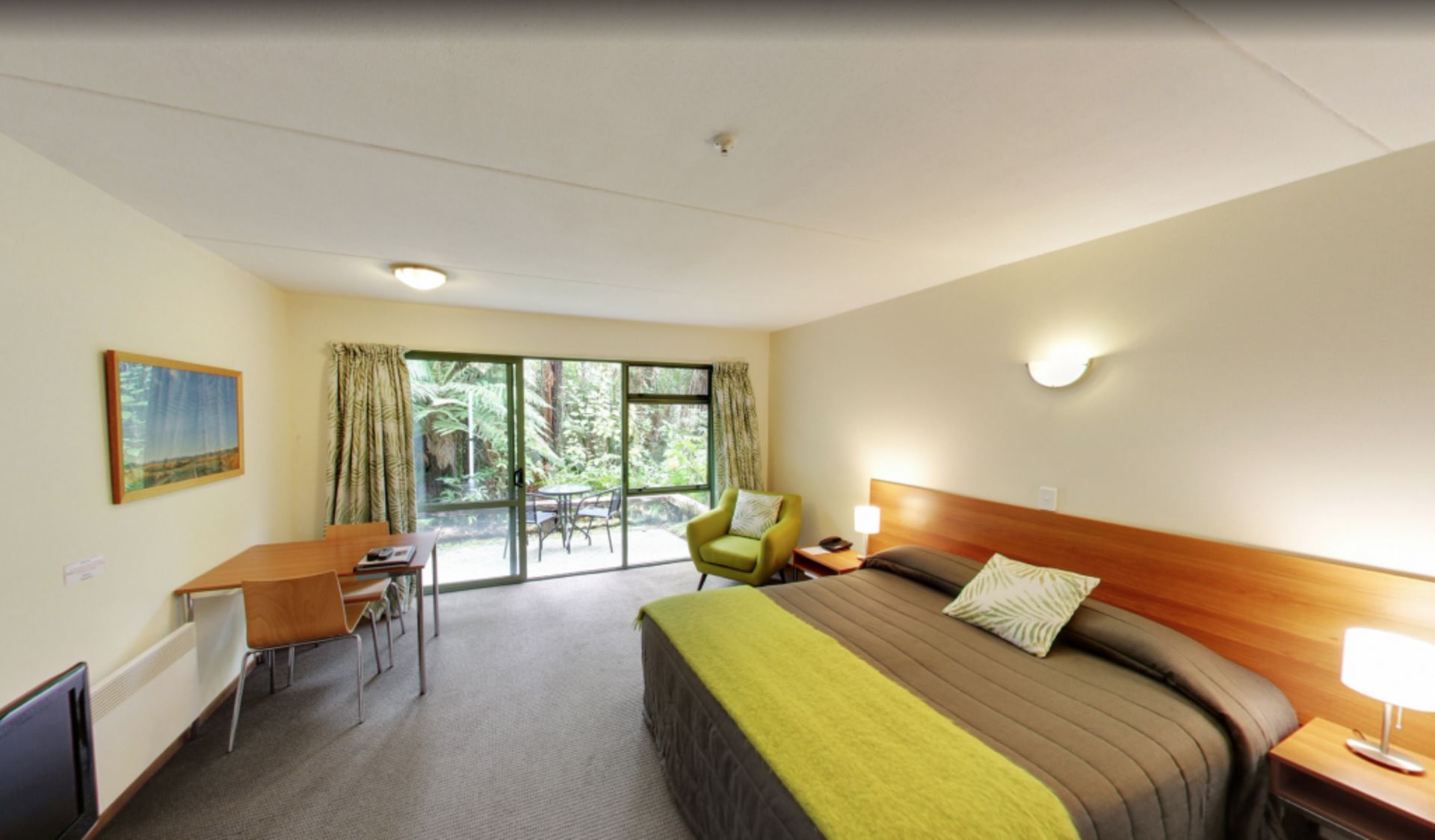
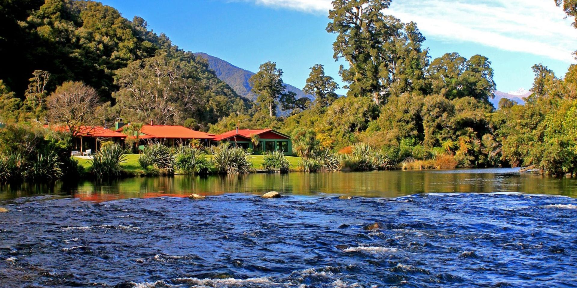
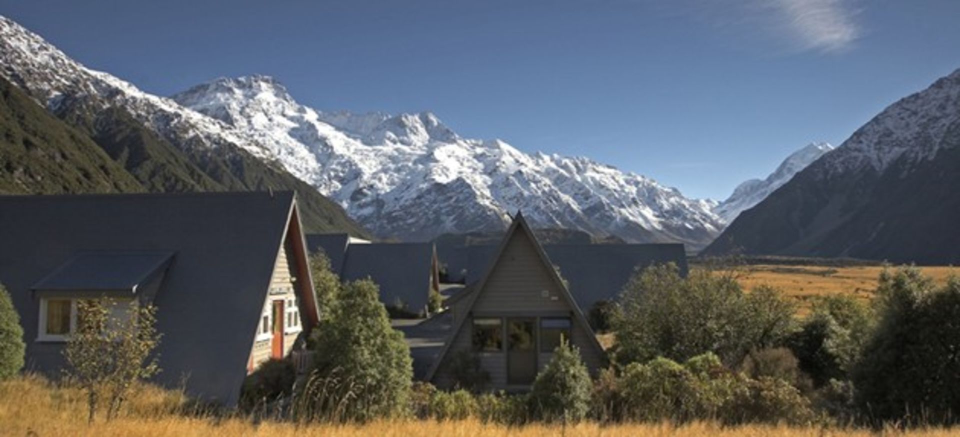
In the afternoon you will have time to explore the superb high country setting of the Wilderness Lodge and its wonderful alpine views. You may have a chance to shear a sheep or watch the highly skilled sheep dogs at work on this working merino sheep station
Porter's Pass to Arthur's Pass: casual/intermediate 51 km./ 32 mi
Springfield to Arthur’s Pass W.Lodge: advanced 68 km /42.5mi
You will ride through Beech Forest to Arthur’s Pass Village and then climb to the top of the pass, dominated by Mt. Rolleston (2270 m/7447ft.). The descent through Otira Gorge is very spectacular and initially steep.
From Jacksons (a quaint old pub), the terrain is gentle as you ride alongside the Taramakau River. Through stands of native forest, you will reach Kumara (tavern) where you can decide to continue cycling or to drive the last few miles to your lodging overlooking the beach.
Like most towns on the West Coast, Hokitika started as a mining town. Now it depends on tourism and is especially noted for jade or 'greenstone' jewelry. Greenstone (pounamu) is collected from local river beds and can be crafted into jewelry at a shop factory.
Wilderness Lodge to Jackson’s: casual 50 km / 31 mi
Wilderness Lodge to Kumara: intermediate 89 km / 56 mi
Arthur's Pass to Hokitika: advanced 119 km / 74 mi
Crossing the Hokitika River you will head south through native bush of rimu and kahikatea (white pine). The route takes you through an agricultural valley and forest. The country is rolling with one climb up Mt Hercules after the town of Harihari ( nowhere near as daunting as the name suggests!) and then a final flat run from Whataroa. Entering Westland National Park as you pass beautiful Lake Mapourika, you will have superb views of snow-capped peaks.
Mt Hercules summit to Franz Josef: casual 51km / 32 mi
Lake Ianthe to Franz Josef: intermediate 8 km / 50 mi
Hokitika to Franz Josef Glacier: advanced 135 km / 84.4 mi
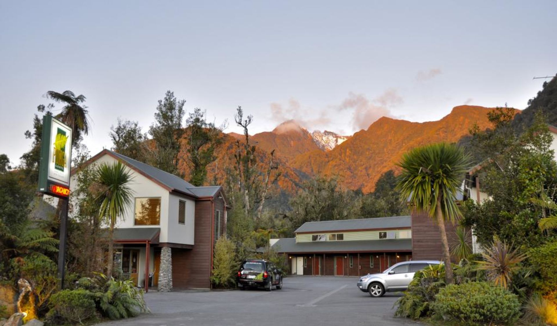
Franz Josef is one of two similar small villages perched near the endpoints of glaciers that come down from the highest mountains of the Southern Alps to the coastal rainforest. Franz Josef Glacier is named after the 19th-century Austrian emperor because the area was surveyed in the 1860's by an Austrian geologist, Julius von Haast.
A walk up the glacier valley gives spectacular views of the terminal ice, while the Westland National Park Visitors Centre houses a wealth of information. Neighbouring Okarito Beach, the site of Abel Tasman's landfall and once a thriving town, is a further option for those who want some more cycling or to visit the large lagoon, renowned for native birds, especially the lovely white heron or “kotuku”.
It will only be 24 km (14.9mi) from Franz Josef to Fox Glacier but that includes three quite severe climbs (and descents) which goes through beautiful native forest. Afterwards, the remaining terrain gently undulates.
From Fox Glacier to Lake Paringa, the road will then pass lush rain forest of rimu and rata, flax filled swamps and rugged hills. The many rivers you’ll see sometimes become raging torrents after rain. With fine weather on the day, there should be superb views of Mt. Cook and the Southern Alps.
Paddle in canoes on a lake that’s stocked with trout or hike to Monro’s beach to spot fur seals and penguins (in season). Complimentary guided programs are included with activities such as glow-worm walks and giant eel feeding.
Bruce Bay to Lake Moerakicas: 43 km/ 27 mi
Fox to Lake Moeraki: intermediate 89 km / 56 mi
Franz Josef to Lake Moeraki: advanced 114 km / 71 mi
Knights Point affords excellent views of the rugged coastline where seals can often be seen basking in the sun. From Haast, you will head inland, following the Haast River towards the snowcapped peaks. You will pass innumerable waterfalls and much bird life, notably keas, fantails and bellbirds. After lunch, the stiff climb through the Gates of Haast is negotiated before the gentle descent to tiny, isolated Makarora, a base for trampers (hikers) and the renowned Siberia Experience.
Haast to Pleasant Flat: casual 49 km / 31 mi
Lake Moeraki to Pleasant Flat: intermediate 78 km / 49 mi
Lake Moeraki to Makarora: advanced 112 km / 70 mi
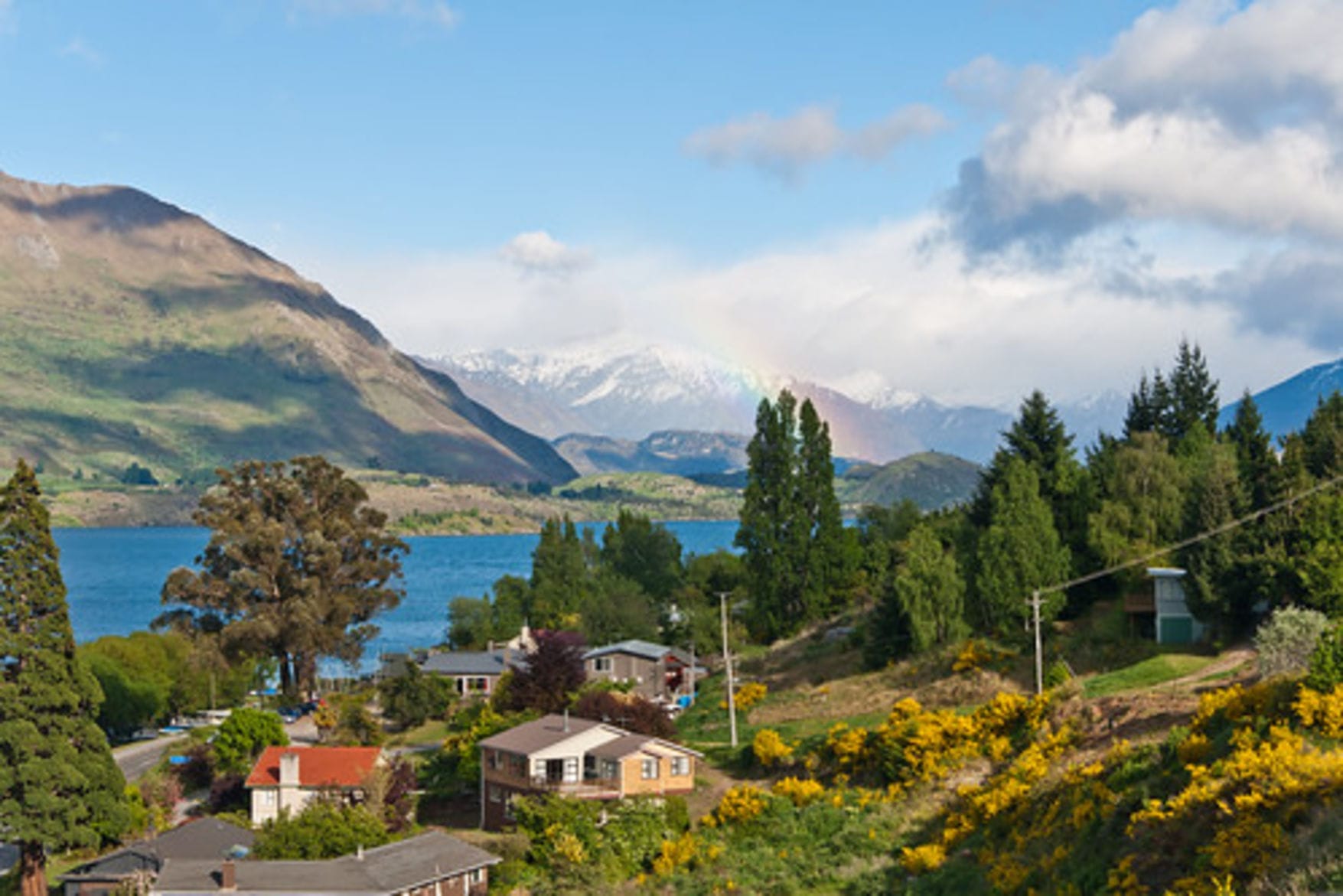
The country is now dramatically drier with dense bush giving way to open sheep paddocks. The road closely follows Lake Wanaka, crosses the Neck to Lake Hawea and then recrosses to Lake Wanaka. There are dramatic views of jagged, rocky mountains across the lake. Wanaka is the gateway to Mt Aspiring National park and several winter ski regions.
Those with energy to spare may like to hike up Mt Iron for more panoramic views or visit Rippon Vineyard (Pinot Noir, Sauvignon Blanc and Riesling wines) for a more leisurely afternoon.
Makarora to Wanaka: inteemediate/advanced 66km / 41 mi
Makarora to Hawea: casual 50 km / 30 mi
Your route today takes you up the Crown Range, over the Cardrona Road. You will climb through tussocky hills past the historic Cardrona Hotel. As you reach the top, there will be amazing views of The Remarkables mountain range and Queenstown. The adjacent Pisa Range (1963m/6440ft) features New Zealand’s only Nordic ski-touring and snow-shoe trails.
Your descent will be through exhilarating hairpin bends down to Arrowtown, an attractive, well-preserved gold-mining village with quaint old cottages and avenues of elms.
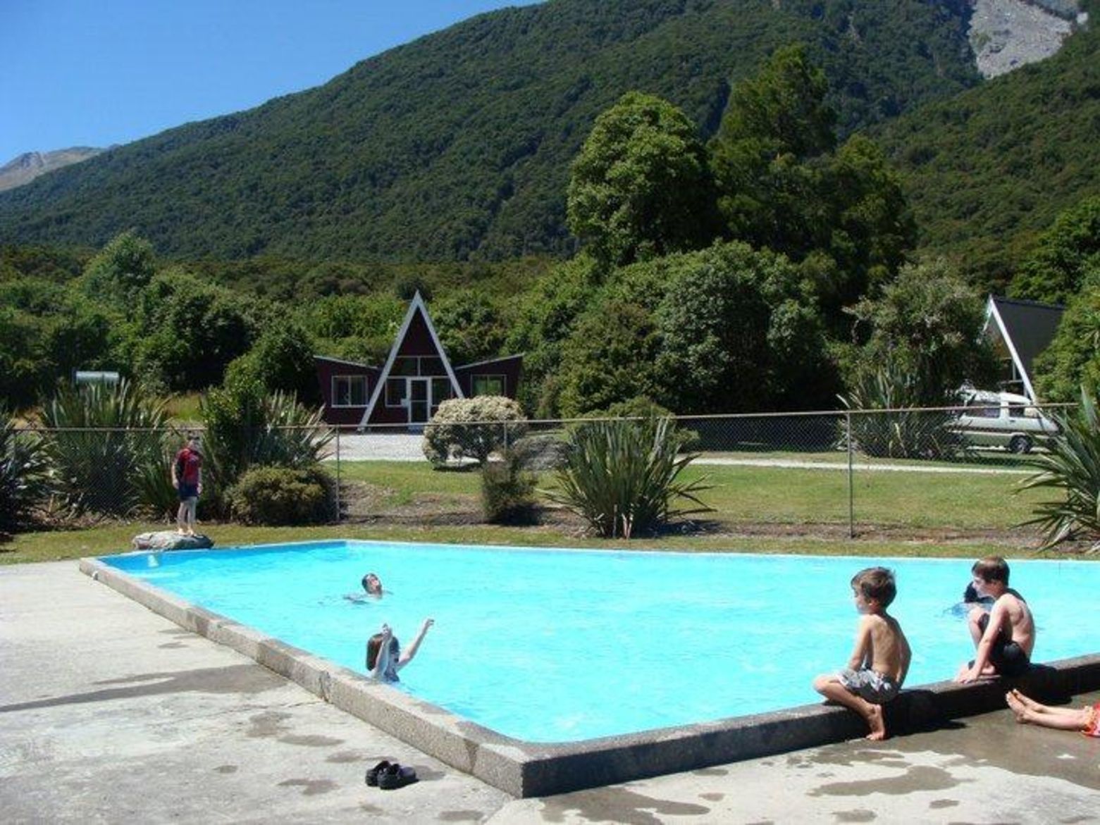
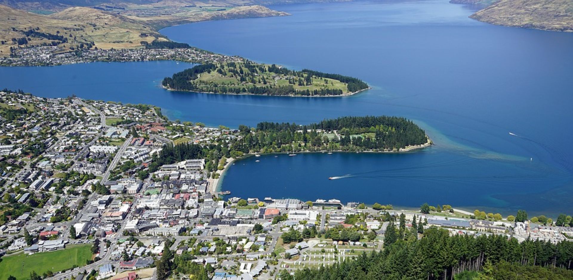
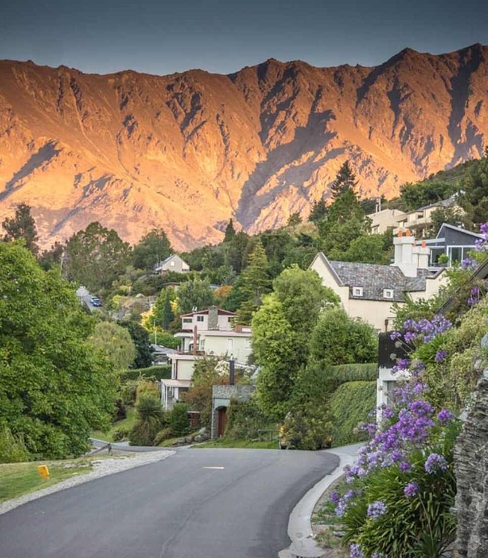
An easy flat ride beneath Coronet Peak, a winter ski field, takes you to Arthur's Point where you can cross the Shotover River on your way to Queenstown. Look out for jet boats speeding through the narrow gorge! Queenstown has so much to offer as its surrounded by gorgeous mountain peaks (including the famous Remarkables) and set on serene Lake Wakatipu.
Wanaka to Cardrona Hotel: casual 27 km / 17 mi
Wanaka to Queenstown via Crown Range: intermediate 78 km / 49 mi
Today is a rest day where you can opt to relax at the hotel or experience the many activities that Queenstown has to offer.
Options include a jet boat or rafting trip on the Kawarau or Shotover Rivers, a ride on the steamer "Earnslaw" to visit a high country sheep station across Lake Wakatipu, a gondola cableway, visit to Skippers canyon, a flight and day tour to Milford Sound (fiord), plus so much more. Queenstown also has an excellent botanical garden and a very good shopping center.
Today you'll be driven from Queenstown to Cromwell, via Lake Dunstan – a man-made lake formed on the Clutha River in 1992/3 as a result of the construction of the nearby Clyde dam. This region is known for stone fruit orchards and vineyards. You'll head for Lindis Pass (971m), with its huge sheep stations of 25,000 to 30,000 acres and pass former gold-mining sites. From the tiny settlement of Tarras, the road climbs gently beside the Lindis River with its weeping willows. The summit affords sweeping views of Otago tussock country and a wonderful long descent to Omarama, a town known for fly fishing and gliding.
Queenstown to Omarama: 173 km / 108 mi
Lindis Pass to Omarama: casual 32 km / 20 mi
Tarras to Omarama: intermediate 80 km / 50 mi
Cromwell to Omarama: advanced 111 km / 69 mi
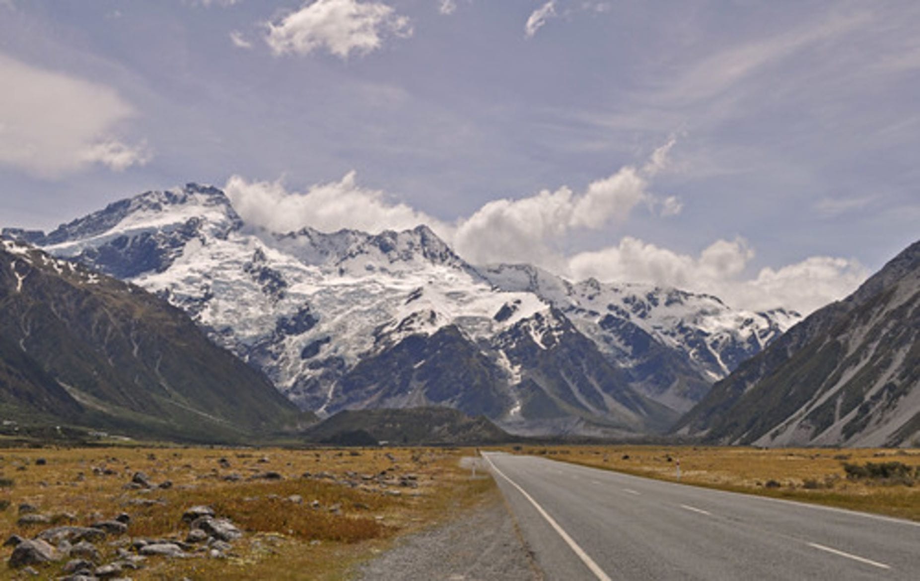
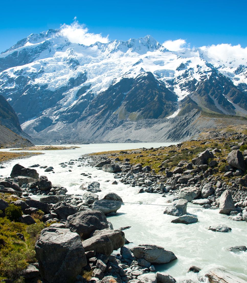
Mt. Cook, your next destination, should be visible before Twizel is reached (the town was built in 1968 as a temporary village to house dam and canal construction workers and has an interesting audio-visual display center). The road to Twizel is flat and thereafter gently undulating as youo climb towards Mt Cook (Aoraki), New Zealand’s highest mountain (3,764m). The ride alongside Lake Pukaki will bring the spectacular Tasman Glacier and Mt. Cook village ever closer. A visit to the Sir Edmund Hillary Alpine Centre in Mt Cook village is well worthwhile, as is the Department of Conservation (DOC) visitor center.
Omarama to Mt Cook: advanced 94.5 km / 59 mi
Twizel to Mt Cook: intermediate 66 km / 41 mi
Peter’s Lookout to Mt Cook: casual 44 km / 27.5mi
Your hosts will show you their property and a little of their rural lifestyle. Afterwards, cycle along a very attractive quiet road through a gorge towards Cave. Along the way you'll be able to visit a unique church made from river stones before the road sidles above the Pareora Gorge.
You will follow the main water route and encounter lifestyle blocks (small farms) until you reach the city of Timaru.
From Timaru, you will take the minibus back to Christchurch for the farewell dinner.
Cave turn off to Timaru: casual 36 km / 23 mi
Fairlie to Timaru: intermediate/advanced 64 km / 40 mi