We deal directly with each tour operator, which means we can guarantee you the best price. If within 24 hours of your booking you find the exact same tour elsewhere for a lower price, let us know and we'll refund you the difference!
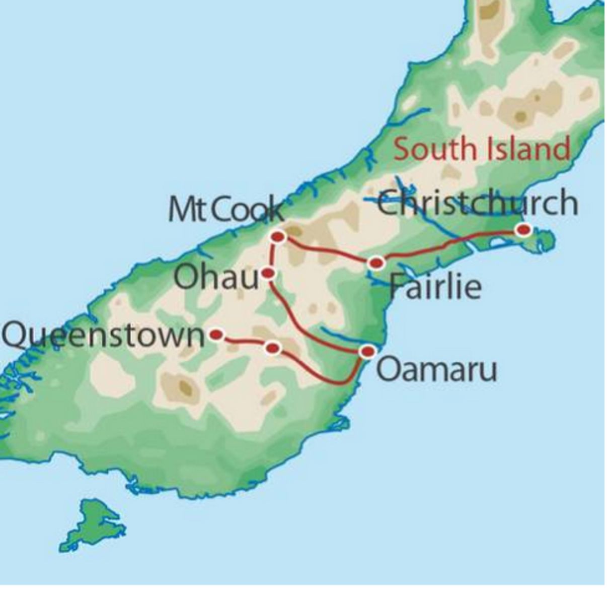
Explore the vast and impressive Mackenzie Basin and remote Central Otago on this remarkable gravel tour from Christchurch to Queenstown. You'll trace the footsteps of the early pioneers, along gold mining trails and stock routes which now form quiet back country roads. Journey from Christchurch to Queenstown, challenging yourself with 7 days of breathtaking gravel grinding. Enjoy incredible views of the Southern Alps from the Banks Peninsula and cycle through arid McKenzie Country surrounded by the highest peaks in the country. Admire a contrast of vivid blue lakes, sparkling rivers, snow capped mountains and golden tussock-lands and indulge in award winning wine and local Kiwi cuisine.
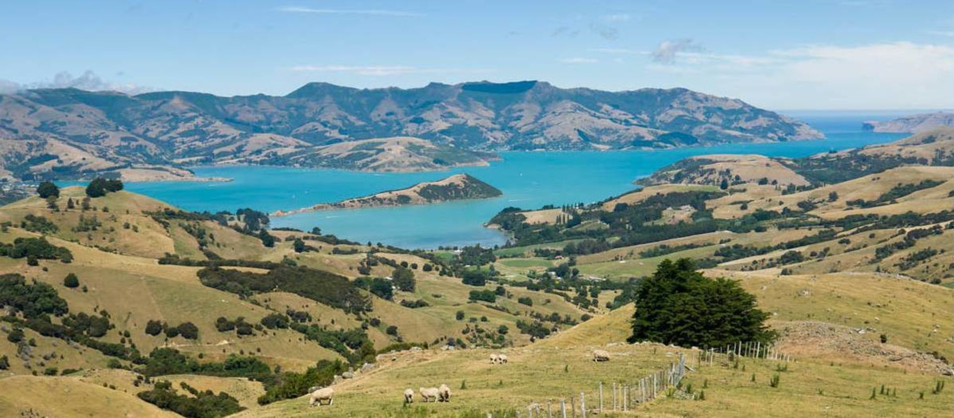
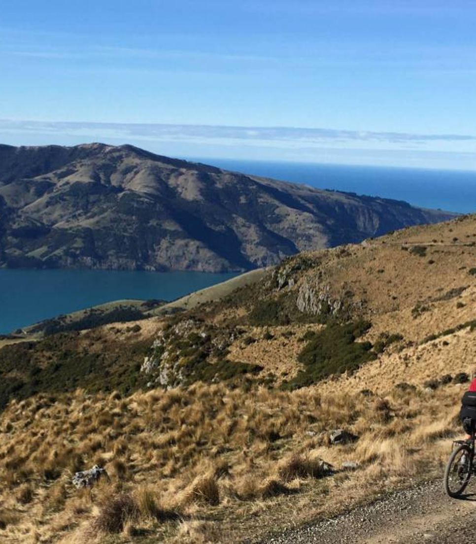
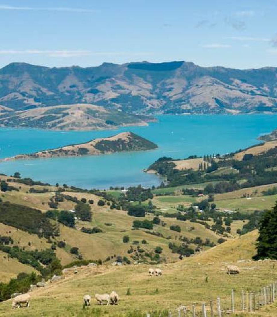
Today, you'll find your cycle legs with a stunning ride on Banks Peninsula, one of New Zealand's most unique landforms. The route includes a decent climb, but the effort is well rewarded with breathtaking views! You'll begin with a 1-hour drive out of Christchurch, then set off along a flat lakeside trail to warm up your legs. After a short walk across a pebble estuary, you'll start the gravel climb up Bossu Road to a panoramic ridge. This ridge is the crater rim of an extinct volcano, offering incredible views of the Canterbury Plains, the snowy Southern Alps, and the vivid blue harbor. You'll eventually descend to the tiny settlement of Wainui for a picnic lunch at the water's edge.
After lunch, it's just a short ride to the small settlement of Devauchelle, where you'll load up and drive back to the city center and your hotel, arriving in the late afternoon.
Cycling Distance
Little River to Wainui - approx 42km
Wainui to Duvauchelle - 12km
Elevation Gain
1359m/ft4457
After breakfast, you'll load up your gear and drive to the small settlement of Cave on the edge of the Canterbury Plains with a coffee stop at Pleasant Point. This area, New Zealand’s only “flat” land, is wide open country with braided rivers teeming with trout and salmon. The Canterbury Plains are also rich in sheep and dairy farming and today’s ride finds you traveling through a pastoral landscape. Today the ride takes you up the Little Opawa River Valley and over the Waratah Saddle, winding through rolling farmland. You'll then head towards the tussock covered hills and over the Mackenzie Saddle (785m/2575ft) which cuts through the ranges and gives your first views of the vast arid Mackenzie Country, where rivers flow through sweeping tussock plains with a backdrop of the snowy alps.
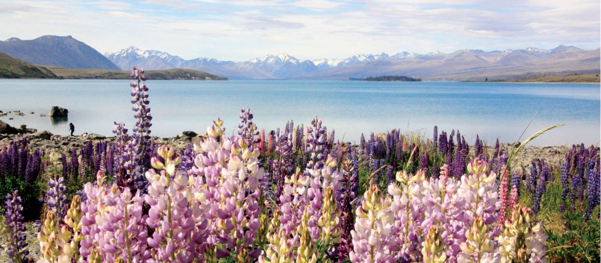
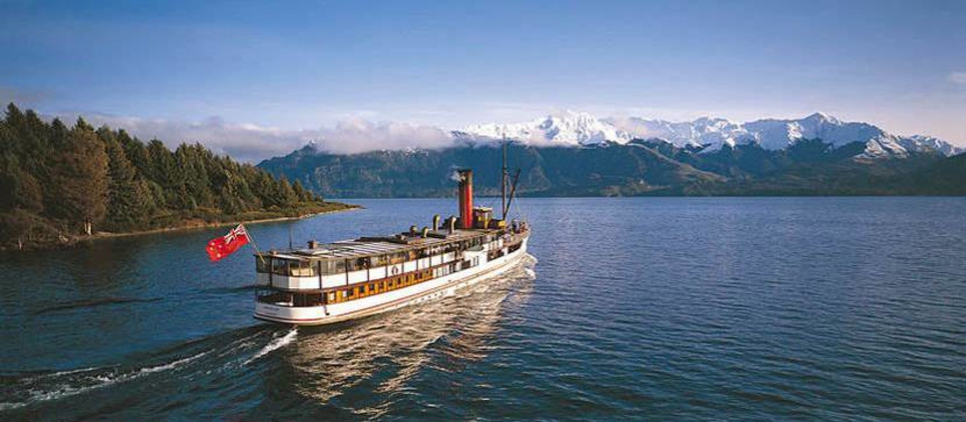
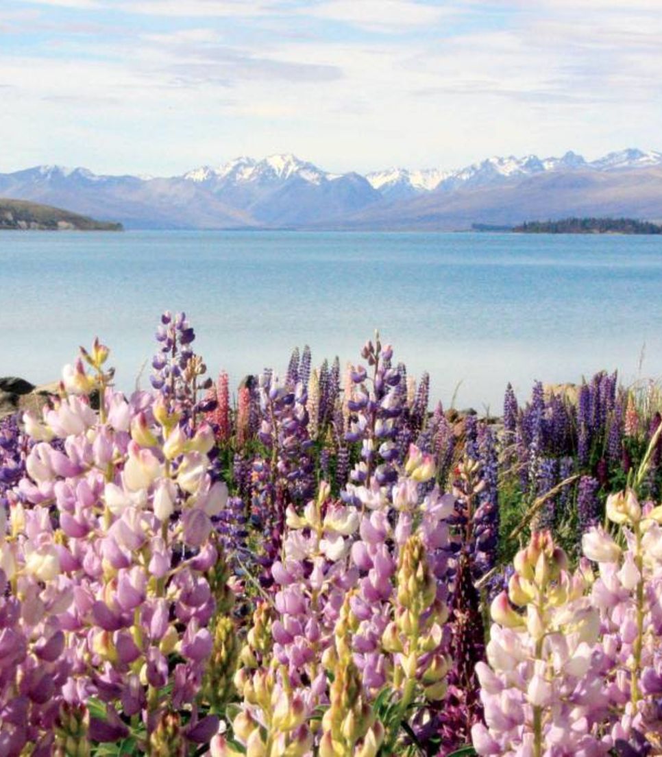
You'll head northwards to meet the main highway at Dog Kennel Corner, a memorial to the importance of sheepdogs, prior to formal fencing of farmland. Here there will be the option to jump onto the support van or continue the last undulating 15km along the main road to Tekapo. In early summer this road is lined with lupins creating an incredible splash of color to the arid landscape. Upon arrival in Lake Tekapo, you can take in views of the amazing turquoise water and the Southern Alps from the Church of the Good Shepherd, and can enjoy a soak in the Tekapo Hot Pools before dinner.
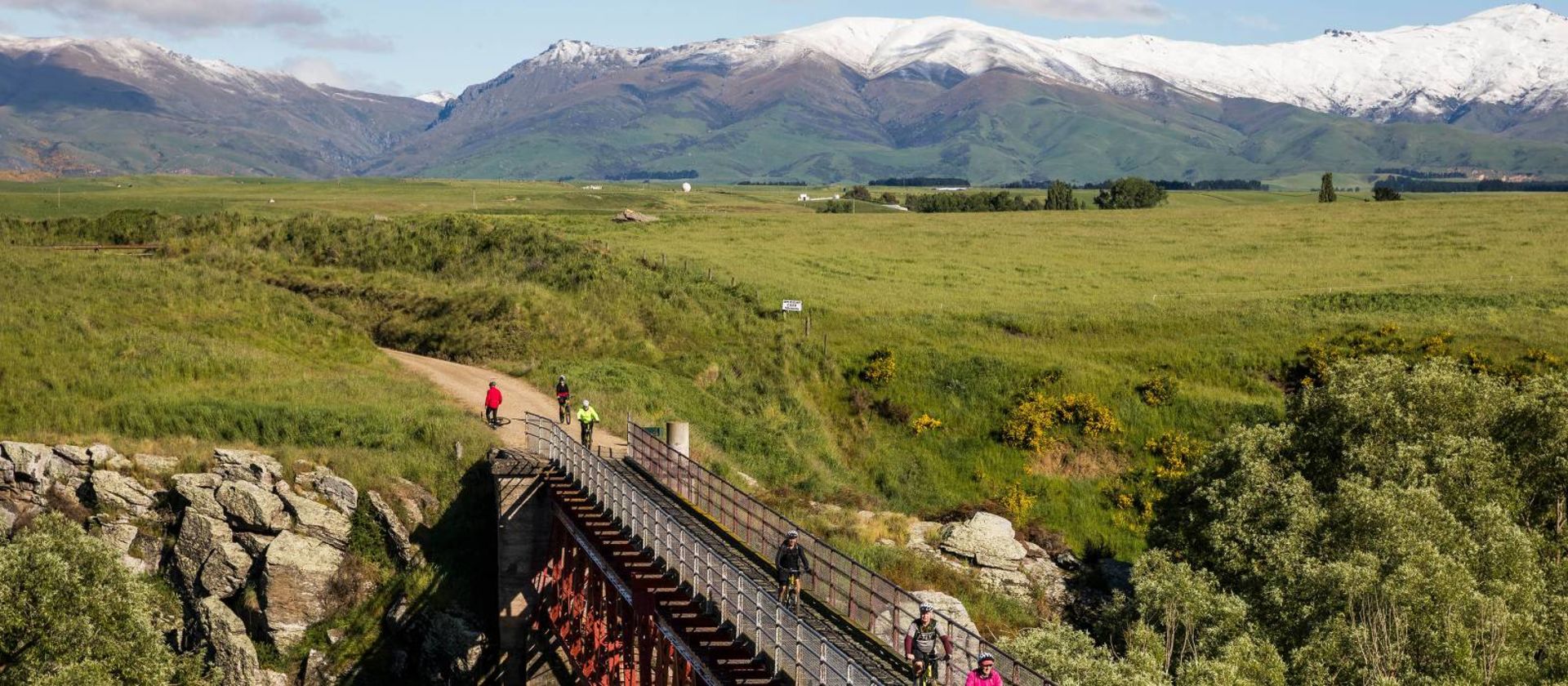
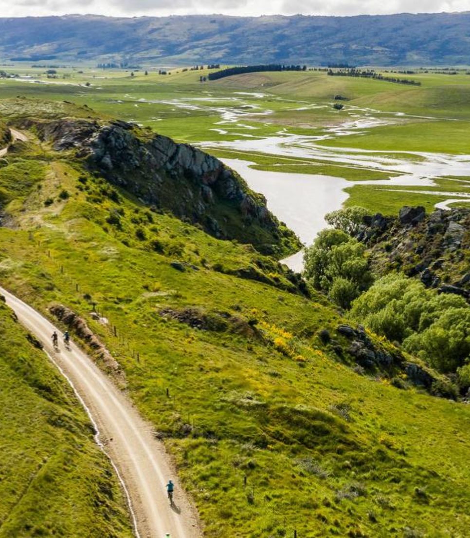
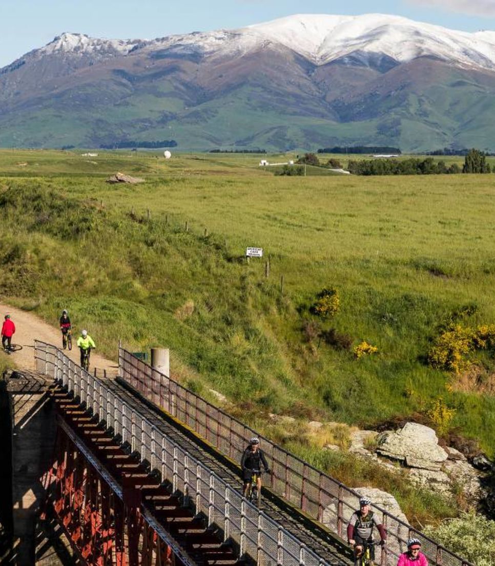
Today is definitely a Queen stage in terms of distance, but the terrain is mostly an old railway line with hard-packed shingle and no steep climbs, making the ride relatively straightforward! The highlight is the best section of New Zealand’s original and most famous “Great Ride,” the Otago Central Rail Trail. Steeped in history, this off-road rail trail offers a scenic and historic journey into the heart of Central Otago. The ever-changing landscape includes rugged mountains, crystal-clear rivers, and steep, winding gorges. Keen riders can choose to ride an extra 33kms to reach the Rail Trail from our accommodation, while the rest will join in from the iconic Wedderburn Station. From there, it's a steady climb to the highest point on the trail before descending to cycle over the impressive Poolburn viaduct and Manuherikia Bridge and through the 229m Poolburn tunnel.
With views of the Dunstan Mountains and the Raggedy Range, continue to Clyde, a quaint historic town in this up-and-coming wine region. Once a wild and bustling "canvas" town filled with gold miners, shopkeepers, and ever-present dancing girls, Clyde’s Dunstan House was the first hotel built there and served as a social hub for the thousands of miners. This unique hotel, with its ambiance of yesteryear, is your accommodation for the night. The “gold” of this region today is wine, and before dinner, you have the option to try award-winning Pinot Noir with a private wine tasting at a local winery.
Today, you'll cycle the newest Great Ride, the Lake Dunstan Trail, offering a spectacular journey through the unique and fascinating landscapes of Central Otago. This trail winds along the Clutha and Kawarau Rivers and the shores of Lake Dunstan, integrating the region’s rich modern, pioneering, and Maori history, brought to life in the Clyde and Cromwell Historical Precincts.
You begin with a 30-minute transfer to Smith's Way on the shore of Lake Dunstan. From there, you'll ride alongside the lake to the Cromwell Heritage Precinct. Here, you'll park your bikes and explore the boutique galleries, stores, and cafes. Afterward, you'll get back on your bikes and follow the trail as it loops around the Bannockburn Inlet and continues toward Cornish Point, passing vineyards and olive groves along the way.
The trail then enters the stunning Cromwell Gorge, where you'll cycle around sheer rock faces and over lake inlets on impressively engineered platforms and bridges rising above Lake Dunstan. This lake was created by the damming of the mighty Clutha Mata-au River, New Zealand’s second-longest river. The trail passes the historically controversial hydroelectric Clyde Dam before finishing at the historic Red Bridge in Clyde.
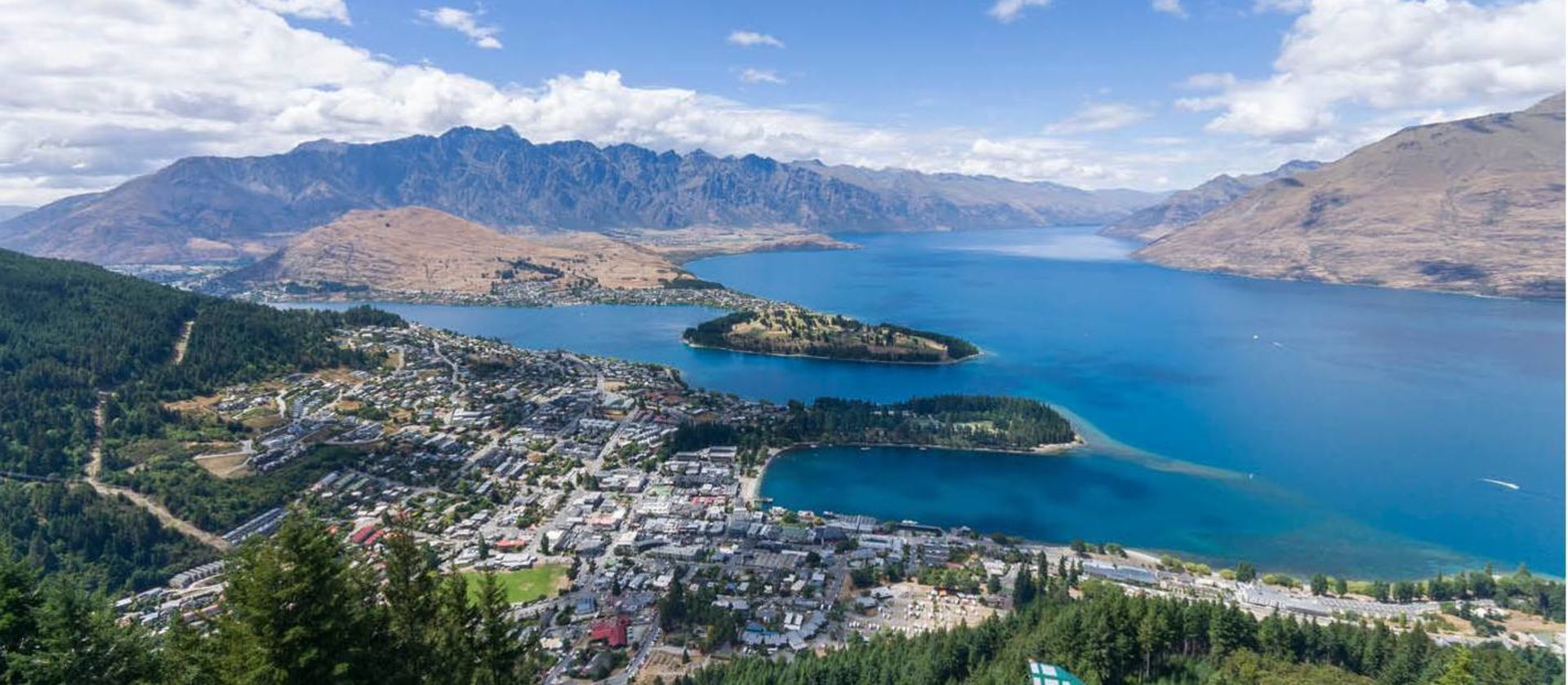
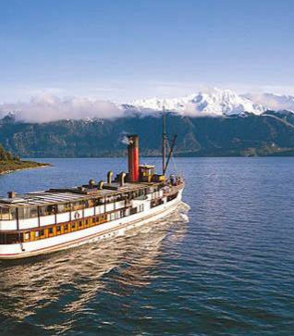
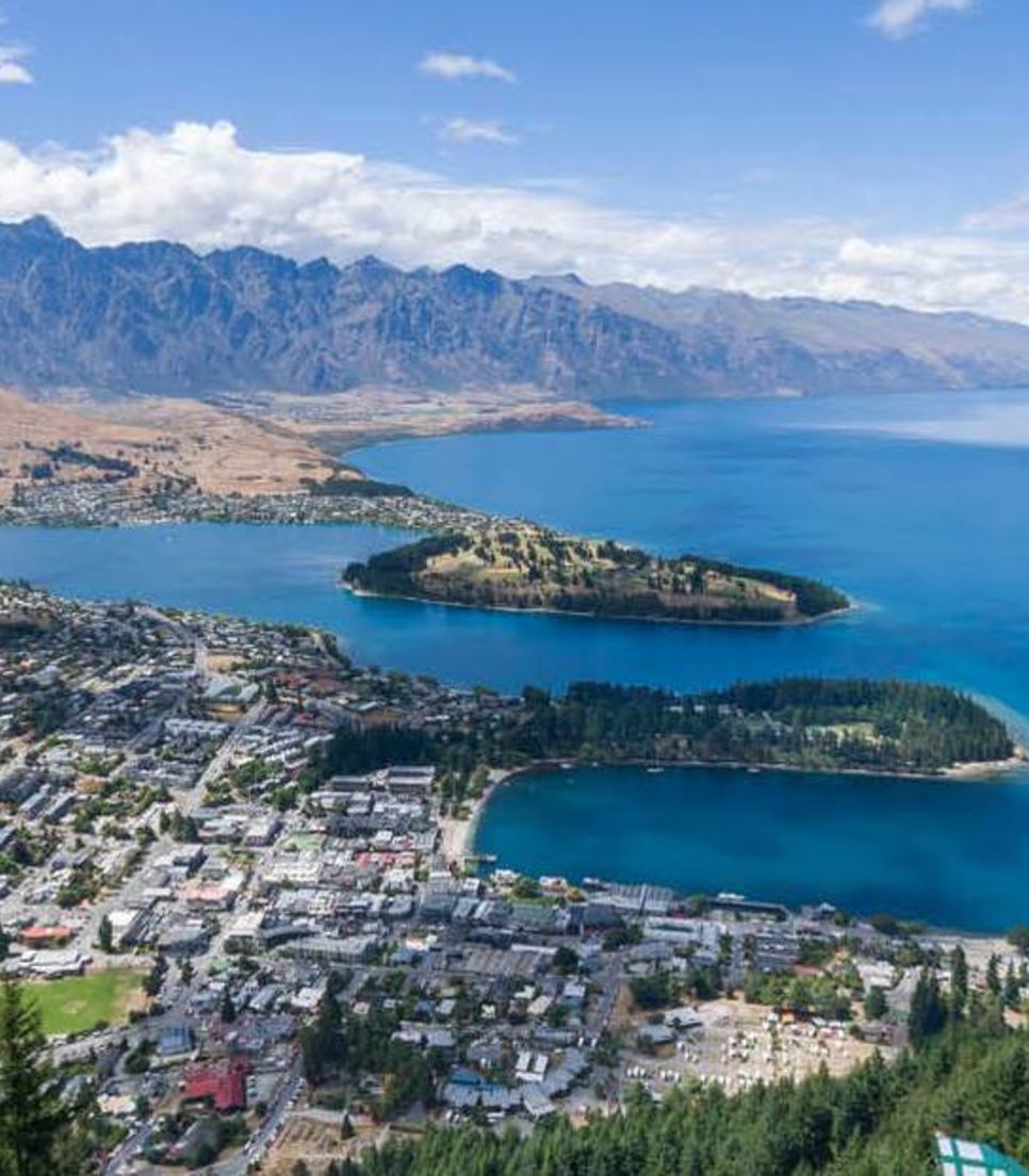
The adventure continues with a scenic drive through the picturesque Kawarau Gorge to Queenstown, passing the historic Kawarau Bridge and heading into the vine-lined Gibbston Valley. You'll end your gravel adventure in Queenstown, your final destination.
Cycling Distance
Smiths Way to Cromwell - 16km
Cromwell to Clyde - 38km
Elevation Gain
570m/1870ft